Ijebu-Ode night lights from space
Night Light of Ijebu-Ode (Ogun) from space (Nigeria) Src. Average luminocity for 10x10km area is 9.7468% and for 50x50km: 1.1372%.
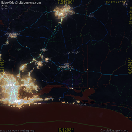
Analysis of Ijebu-Ode night lights 2016
Square area 10x10 km:
 0%
0%90-99
0%80-89
0%70-79
0%60-69
0%50-59
0%40-49
1.95%30-39
7.79%20-29
16.02%10-19
8.44%0-9
65.8%Square area 50x50 km:
0%90-99
0.03%80-89
0.04%70-79
0.06%60-69
0.06%50-59
0.26%40-49
0.24%30-39
0.61%20-29
0.93%10-19
0.55%0-9
97.2%Clear (daylight) street map image can be seen on geolist.org.
Map coordinates:
7° 31' 1.4" North, 3° 12' 51" East
6° 49' 10" North, 3° 55' 2.3" East
6° 7' 14.9" North, 4° 37' 13.5" East
Some cities around Ijebu-Ode sort by population:
• Ibadan
62.1 km =38.6 mi,  358°
358°
• Ebute Ikorodu
53.3 km =33.1 mi,  242°
242°
• Shagamu
30.1 km =18.7 mi,  276°
276°
• Epe
27.2 km =16.9 mi,  164°
164°
• Iperu
29.6 km =18.4 mi,  289°
289°
• Ejirin
22.9 km =14.2 mi,  184°
184°
• Owode
47.7 km =29.6 mi, 287°
• Isara
32.4 km =20.1 mi,  306°
306°
2338400 (p: 209,175)
Sources (retrieved 2019-11-25):
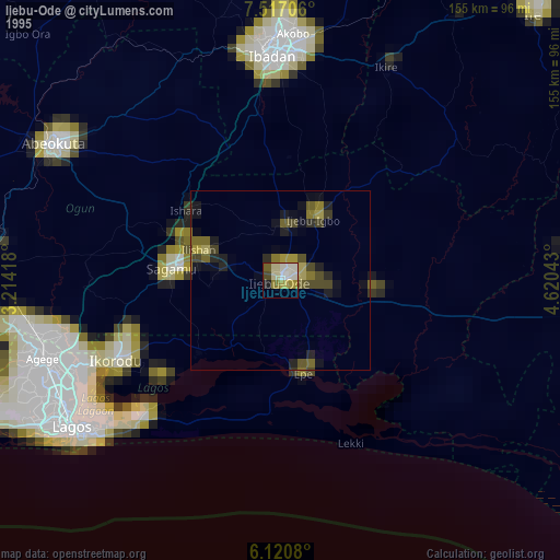
» NASA, Earths city lights 1995
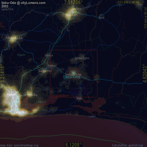
» NASA city lights 2003
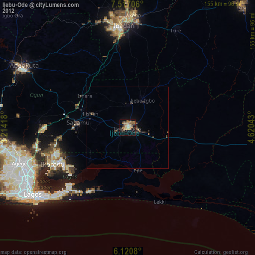
» Earth at Night: Flat Maps 2012, 2016