Ipoti night lights from space
Night Light of Ipoti (Ekiti) from space (Nigeria) Src. Average luminocity for 10x10km area is 0% and for 50x50km: 0.1273%.
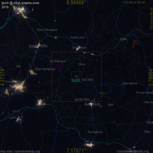
Analysis of Ipoti night lights 2016
Square area 10x10 km:
 0%
0%90-99
0%80-89
0%70-79
0%60-69
0%50-59
0%40-49
0%30-39
0%20-29
0%10-19
0%0-9
100%Square area 50x50 km:
0%90-99
0%80-89
0%70-79
0%60-69
0%50-59
0%40-49
0.09%30-39
0.14%20-29
0.05%10-19
0.02%0-9
99.7%Clear (daylight) street map image can be seen on geolist.org.
Map coordinates:
8° 34' 10.8" North, 4° 22' 25.6" East
7° 52' 25.6" North, 5° 4' 36.9" East
7° 10' 36.2" North, 5° 46' 48.1" East
Some cities around Ipoti sort by population:
• Ila Orangun
24.8 km =15.4 mi,  309°
309°
• Ijero-Ekiti
6.6 km =4.1 mi,  189°
189°
• Igede-Ekiti
23.5 km =14.6 mi,  166°
166°
• Oke Mesi
18.8 km =11.7 mi,  250°
250°
• Aramoko-Ekiti
19.2 km =11.9 mi, 192°
• Oke Ila
13.3 km =8.3 mi, 309°
• Omu-Aran
29.6 km =18.4 mi,  5°
5°
• Ifaki
21.1 km =13.1 mi,  116°
116°
2337352 (p: 82,113)
Sources (retrieved 2019-11-25):
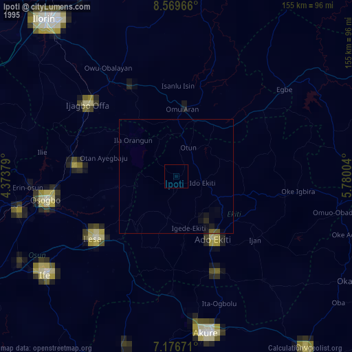
» NASA, Earths city lights 1995
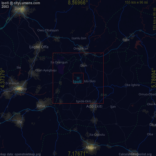
» NASA city lights 2003
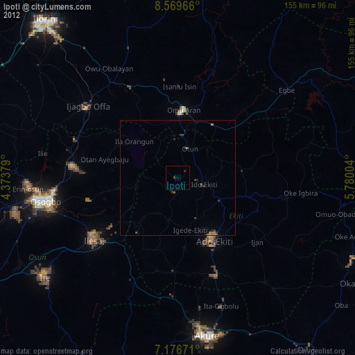
» Earth at Night: Flat Maps 2012, 2016