Ifaki night lights from space
Night Light of Ifaki (Ekiti) from space (Nigeria) Src. Average luminocity for 10x10km area is 0% and for 50x50km: 0.2494%.
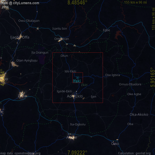
Analysis of Ifaki night lights 2016
Square area 10x10 km:
 0%
0%90-99
0%80-89
0%70-79
0%60-69
0%50-59
0%40-49
0%30-39
0%20-29
0%10-19
0%0-9
100%Square area 50x50 km:
0%90-99
0%80-89
0.07%70-79
0%60-69
0%50-59
0.03%40-49
0.13%30-39
0.13%20-29
0.11%10-19
0.02%0-9
99.51%Clear (daylight) street map image can be seen on geolist.org.
Map coordinates:
8° 29' 7.7" North, 4° 32' 43.4" East
7° 47' 21.9" North, 5° 14' 54.7" East
7° 5' 32" North, 5° 57' 5.9" East
Some cities around Ifaki sort by population:
• Ado-Ekiti
18.7 km =11.6 mi,  189°
189°
• Ijero-Ekiti
20.2 km =12.6 mi,  278°
278°
• Ikere-Ekiti
32.5 km =20.2 mi,  183°
183°
• Igede-Ekiti
19 km =11.8 mi,  225°
225°
• Ipoti
21.1 km =13.1 mi,  296°
296°
• Oke Mesi
36.7 km =22.8 mi,  274°
274°
• Aramoko-Ekiti
24.8 km =15.4 mi,  247°
247°
• Oke Ila
34.2 km =21.3 mi, 301°
2338908 (p: 9,185)
Sources (retrieved 2019-11-25):
» Earth at Night: Flat Maps 2012, 2016