Omu-Aran night lights from space
Night Light of Omu-Aran (Kwara) from space (Nigeria) Src. Average luminocity for 10x10km area is 5.5393% and for 50x50km: 0.3822%.
Analysis of Omu-Aran night lights 2016
Square area 10x10 km:
 0%
0%90-99
0.83%80-89
0.83%70-79
0%60-69
0.83%50-59
2.27%40-49
1.86%30-39
1.86%20-29
0%10-19
1.03%0-9
90.5%Square area 50x50 km:
0%90-99
0.03%80-89
0.03%70-79
0%60-69
0.03%50-59
0.09%40-49
0.2%30-39
0.24%20-29
0.1%10-19
0.06%0-9
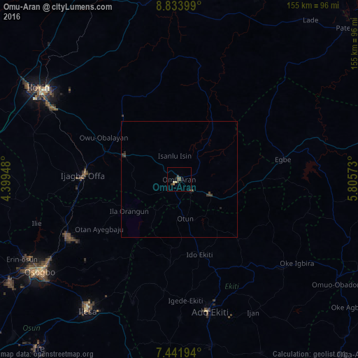
99.2%Clear (daylight) street map image can be seen on geolist.org.
Map coordinates:
8° 50' 2.4" North, 4° 23' 58.1" East
8° 8' 18.9" North, 5° 6' 9.4" East
7° 26' 31" North, 5° 48' 20.6" East
Some cities around Omu-Aran sort by population:
• Ila Orangun
25.7 km =16 mi,  238°
238°
• Ijero-Ekiti
36.2 km =22.5 mi,  186°
186°
• Ipoti
29.6 km =18.4 mi, 185°
• Oke Mesi
41.2 km =25.6 mi,  209°
209°
• Oyan
38.3 km =23.8 mi,  255°
255°
• Otan Ayegbaju
40.6 km =25.2 mi, 238°
• Oke Ila
24.7 km =15.3 mi, 212°
• Ajasse Ipo
33.2 km =20.6 mi,  288°
288°
2326200 (p: 14,477)
Sources (retrieved 2019-11-25):
» Earth at Night: Flat Maps 2012, 2016