Oke Ila night lights from space
Night Light of Oke Ila (Ekiti) from space (Nigeria) Src. Average luminocity for 10x10km area is 0% and for 50x50km: 0.2668%.
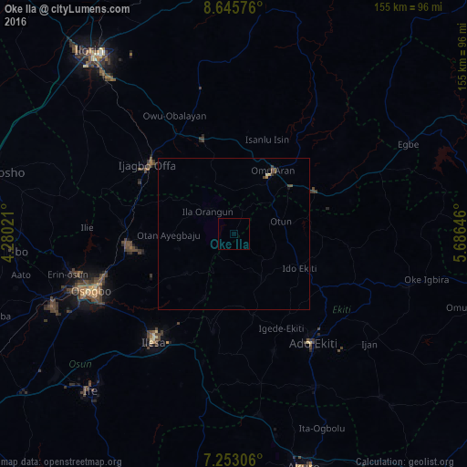
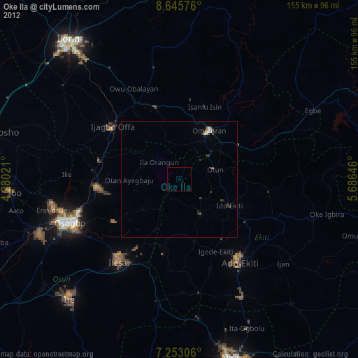
Analysis of Oke Ila night lights 2016
Square area 10x10 km:
 0%
0%90-99
0%80-89
0%70-79
0%60-69
0%50-59
0%40-49
0%30-39
0%20-29
0%10-19
0%0-9
100%Square area 50x50 km:
0%90-99
0.03%80-89
0.03%70-79
0%60-69
0.03%50-59
0.09%40-49
0.13%30-39
0.08%20-29
0%10-19
0.06%0-9
99.54%Clear (daylight) street map image can be seen on geolist.org.
Map coordinates:
8° 38' 44.7" North, 4° 16' 48.8" East
7° 57' 0" North, 4° 58' 60" East
7° 15' 11" North, 5° 41' 11.3" East
Some cities around Oke Ila sort by population:
• Ila Orangun
11.5 km =7.1 mi,  310°
310°
• Ijero-Ekiti
17.6 km =10.9 mi,  148°
148°
• Ipoti
13.3 km =8.3 mi,  129°
129°
• Oke Mesi
16.5 km =10.3 mi,  206°
206°
• Aramoko-Ekiti
28 km =17.4 mi,  166°
166°
• Oyan
26.3 km =16.3 mi,  294°
294°
• Otan Ayegbaju
21.5 km =13.4 mi,  269°
269°
• Omu-Aran
24.7 km =15.3 mi,  32°
32°
2327233 (p: 35,000)
Sources (retrieved 2019-11-25):
» Earth at Night: Flat Maps 2012, 2016