Sade night lights from space
Night Light of Sade (Bauchi) from space (Nigeria) Src. Average luminocity for 10x10km area is 0% and for 50x50km: 0%.
Analysis of Sade night lights 2016
Square area 10x10 km:
100  0%
0%
90-99 0%
80-89 0%
70-79 0%
60-69 0%
50-59 0%
40-49 0%
30-39 0%
20-29 0%
10-19 0%
0-9 100%
0%90-99
0%80-89
0%70-79
0%60-69
0%50-59
0%40-49
0%30-39
0%20-29
0%10-19
0%0-9
100%Square area 50x50 km:
100 0%
90-99 0%
80-89 0%
70-79 0%
60-69 0%
50-59 0%
40-49 0%
30-39 0%
20-29 0%
10-19 0%
0-9 100%
0%90-99
0%80-89
0%70-79
0%60-69
0%50-59
0%40-49
0%30-39
0%20-29
0%10-19
0%0-9
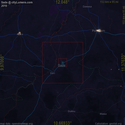
100%Clear (daylight) street map image can be seen on geolist.org.
Map coordinates:
12° 2' 52.8" North, 9° 58' 12.3" East
11° 21' 34.2" North, 10° 40' 23.5" East
10° 40' 9.6" North, 11° 22' 34.8" East
Some cities around Sade sort by population:
• Potiskum
59.4 km =36.9 mi,  48°
48°
• Kari
17.5 km =10.9 mi,  224°
224°
• Darazo
49.2 km =30.6 mi, 215°
• Misau
23.1 km =14.4 mi,  257°
257°
• Gabarin
37.4 km =23.2 mi, 221°
• Madara
52.8 km =32.8 mi,  332°
332°
• Zadawa
34.8 km =21.6 mi,  286°
286°
• Yanda Bayo
18.2 km =11.3 mi,  25°
25°
2324024 (p: 8,223)
Sources (retrieved 2019-11-25):
» Earth at Night: Flat Maps 2012, 2016