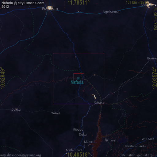
Nafada night lights from space
Night Light of Nafada (Gombe) from space (Nigeria) Src. Average luminocity for 10x10km area is 0.474% and for 50x50km: 0.2107%.
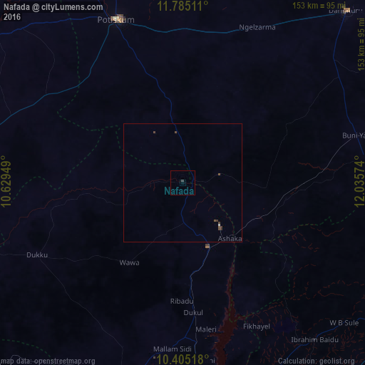
Analysis of Nafada night lights 2016
Square area 10x10 km:
100  0%
0%
90-99 0%
80-89 0%
70-79 0%
60-69 0%
50-59 0%
40-49 0%
30-39 0.87%
20-29 0%
10-19 0%
0-9 99.13%
0%90-99
0%80-89
0%70-79
0%60-69
0%50-59
0%40-49
0%30-39
0.87%20-29
0%10-19
0%0-9
99.13%Square area 50x50 km:
100 0.02%
90-99 0.02%
80-89 0%
70-79 0%
60-69 0%
50-59 0.03%
40-49 0.19%
30-39 0.16%
20-29 0%
10-19 0%
0-9 99.59%
0.02%90-99
0.02%80-89
0%70-79
0%60-69
0%50-59
0.03%40-49
0.19%30-39
0.16%20-29
0%10-19
0%0-9
99.59%Clear (daylight) street map image can be seen on geolist.org.
Map coordinates:
11° 47' 6.4" North, 10° 37' 46.2" East
11° 5' 45.5" North, 11° 19' 57.4" East
10° 24' 18.6" North, 12° 2' 8.7" East
Some cities around Nafada sort by population:
• Potiskum
74 km =46 mi,  338°
338°
• Daura
51.6 km =32.1 mi,  8°
8°
• Kari
85.8 km =53.3 mi,  281°
281°
• Dukku
68.3 km =42.4 mi,  243°
243°
• Kafarati
83.4 km =51.8 mi,  198°
198°
• Gujba
79.5 km =49.4 mi,  55°
55°
• Sade
77.7 km =48.3 mi,  292°
292°
• Yanda Bayo
78.6 km =48.8 mi,  305°
305°
2329562 (p: 22,920)
Sources (retrieved 2019-11-25):
» Earth at Night: Flat Maps 2012, 2016