Ifon night lights from space
Night Light of Ifon (Ondo) from space (Nigeria) Src. Average luminocity for 10x10km area is 0% and for 50x50km: 0.0296%.
Analysis of Ifon night lights 2016
Square area 10x10 km:
100  0%
0%
90-99 0%
80-89 0%
70-79 0%
60-69 0%
50-59 0%
40-49 0%
30-39 0%
20-29 0%
10-19 0%
0-9 100%
0%90-99
0%80-89
0%70-79
0%60-69
0%50-59
0%40-49
0%30-39
0%20-29
0%10-19
0%0-9
100%Square area 50x50 km:
100 0%
90-99 0%
80-89 0%
70-79 0%
60-69 0%
50-59 0%
40-49 0%
30-39 0.03%
20-29 0.03%
10-19 0%
0-9 99.93%
0%90-99
0%80-89
0%70-79
0%60-69
0%50-59
0%40-49
0%30-39
0.03%20-29
0.03%10-19
0%0-9
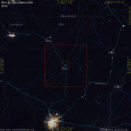
99.93%Clear (daylight) street map image can be seen on geolist.org.
Map coordinates:
7° 37' 37.8" North, 5° 4' 14" East
6° 55' 47" North, 5° 46' 25.2" East
6° 13' 52.5" North, 6° 28' 36.5" East
Some cities around Ifon sort by population:
• Benin City
67.8 km =42.1 mi,  193°
193°
• Owo
36.1 km =22.4 mi,  325°
325°
• Ise-Ekiti
70.9 km =44.1 mi, 326°
• Uromi
66.9 km =41.6 mi,  112°
112°
• Emure-Ekiti
66.2 km =41.1 mi, 328°
• Auchi
56.2 km =34.9 mi,  74°
74°
• Ekpoma
45.5 km =28.3 mi,  117°
117°
• Igarra
54.5 km =33.9 mi,  42°
42°
2338873 (p: 7,623)
Sources (retrieved 2019-11-25):
» Earth at Night: Flat Maps 2012, 2016