Idah night lights from space
Night Light of Idah (Kogi) from space (Nigeria) Src. Average luminocity for 10x10km area is 0.5996% and for 50x50km: 0.0247%.
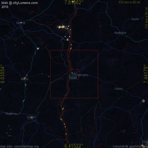
Analysis of Idah night lights 2016
Square area 10x10 km:
 0%
0%90-99
0%80-89
0%70-79
0%60-69
0.87%50-59
0%40-49
0%30-39
0%20-29
0%10-19
0%0-9
99.13%Square area 50x50 km:
0%90-99
0%80-89
0%70-79
0%60-69
0.03%50-59
0%40-49
0%30-39
0%20-29
0%10-19
0%0-9
99.97%Clear (daylight) street map image can be seen on geolist.org.
Map coordinates:
7° 48' 38.2" North, 6° 2' 7.9" East
7° 6' 48.4" North, 6° 44' 19.2" East
6° 24' 54.8" North, 7° 26' 30.4" East
Some cities around Idah sort by population:
• Auchi
52.7 km =32.7 mi,  264°
264°
• Ajaokuta
50.8 km =31.6 mi,  349°
349°
• Agenebode
5 km =3.1 mi, 259°
• Ogurugu
43.2 km =26.8 mi,  147°
147°
• Adoru
49.2 km =30.6 mi,  107°
107°
• Illushi
50.7 km =31.5 mi,  193°
193°
• Abocho
57.4 km =35.7 mi,  28°
28°
• Adani
51.3 km =31.9 mi,  144°
144°
2339156 (p: 68,703)
Sources (retrieved 2019-11-25):
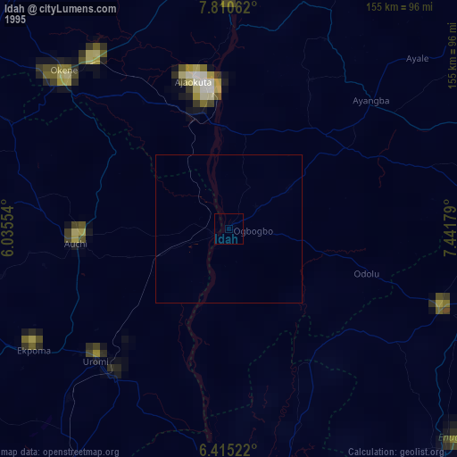
» NASA, Earths city lights 1995
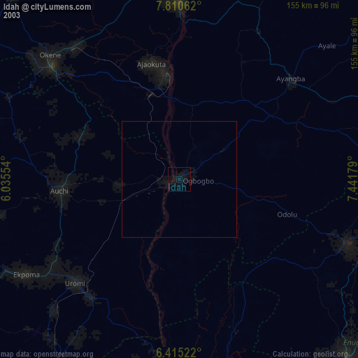
» NASA city lights 2003
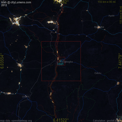
» Earth at Night: Flat Maps 2012, 2016