Okene night lights from space
Night Light of Okene (Kogi) from space (Nigeria) Src. Average luminocity for 10x10km area is 0.039% and for 50x50km: 0.1658%.
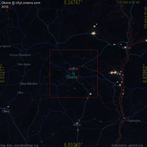
Analysis of Okene night lights 2016
Square area 10x10 km:
 0%
0%90-99
0%80-89
0%70-79
0%60-69
0%50-59
0%40-49
0%30-39
0%20-29
0%10-19
0%0-9
100%Square area 50x50 km:
0.03%90-99
0.04%80-89
0%70-79
0%60-69
0%50-59
0%40-49
0.03%30-39
0.13%20-29
0.03%10-19
0.1%0-9
99.63%Clear (daylight) street map image can be seen on geolist.org.
Map coordinates:
8° 14' 51.6" North, 5° 31' 58" East
7° 33' 4.4" North, 6° 14' 9.2" East
6° 51' 13.1" North, 6° 56' 20.5" East
Some cities around Okene sort by population:
• Ogaminana
5.1 km =3.2 mi,  337°
337°
• Auchi
53.9 km =33.5 mi,  176°
176°
• Lokoja
61.9 km =38.5 mi,  63°
63°
• Kabba
35.4 km =22 mi,  329°
329°
• Ajaokuta
46.2 km =28.7 mi,  88°
88°
• Icheu
61.5 km =38.2 mi,  73°
73°
• Igarra
32.1 km =19.9 mi,  206°
206°
• Omuo-Ekiti
61.1 km =38 mi,  292°
292°
2327220 (p: 479,178)
Sources (retrieved 2019-11-25):
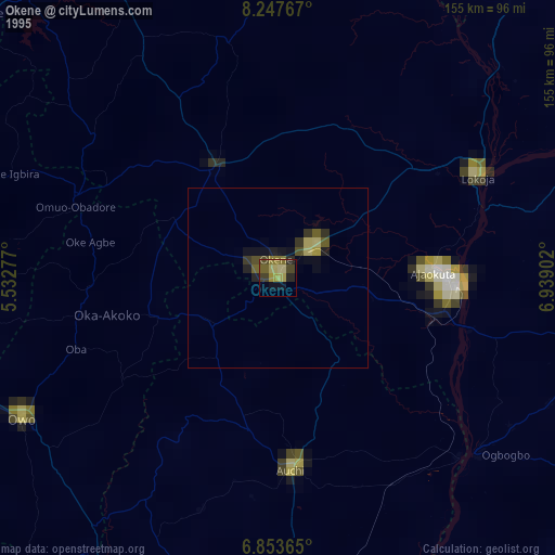
» NASA, Earths city lights 1995
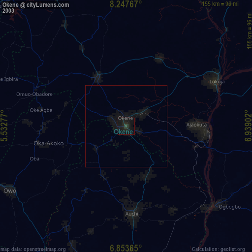
» NASA city lights 2003
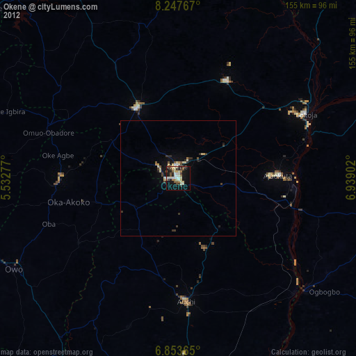
» Earth at Night: Flat Maps 2012, 2016