Anka night lights from space
Night Light of Anka (Zamfara) from space (Nigeria) Src. Average luminocity for 10x10km area is 0% and for 50x50km: 0%.
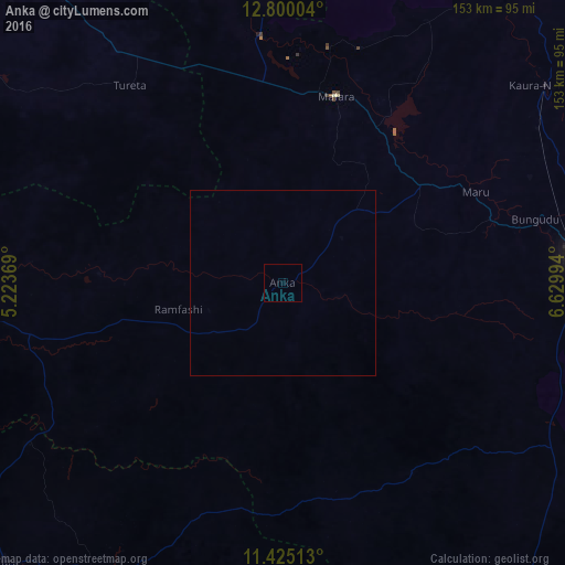
Analysis of Anka night lights 2016
Square area 10x10 km:
100  0%
0%
90-99 0%
80-89 0%
70-79 0%
60-69 0%
50-59 0%
40-49 0%
30-39 0%
20-29 0%
10-19 0%
0-9 100%
0%90-99
0%80-89
0%70-79
0%60-69
0%50-59
0%40-49
0%30-39
0%20-29
0%10-19
0%0-9
100%Square area 50x50 km:
100 0%
90-99 0%
80-89 0%
70-79 0%
60-69 0%
50-59 0%
40-49 0%
30-39 0%
20-29 0%
10-19 0%
0-9 100%
0%90-99
0%80-89
0%70-79
0%60-69
0%50-59
0%40-49
0%30-39
0%20-29
0%10-19
0%0-9
100%Clear (daylight) street map image can be seen on geolist.org.
Map coordinates:
12° 48' 0.1" North, 5° 13' 25.3" East
12° 6' 48.5" North, 5° 55' 36.5" East
11° 25' 30.5" North, 6° 37' 47.8" East
Some cities around Anka sort by population:
• Gusau
80.4 km =50 mi,  85°
85°
• Kaura Namoda
89.4 km =55.6 mi,  53°
53°
• Talata Mafara
52.7 km =32.7 mi,  16°
16°
• Gummi
88 km =54.7 mi,  272°
272°
• Gandi
96.6 km =60 mi,  348°
348°
• Maru
57.3 km =35.6 mi,  64°
64°
• Bena
92.2 km =57.3 mi,  179°
179°
• Wasagu
83.2 km =51.7 mi,  189°
189°
2349797 (p: 11,641)
Sources (retrieved 2019-11-25):
» Earth at Night: Flat Maps 2012, 2016