Gandi night lights from space
Night Light of Gandi (Sokoto) from space (Nigeria) Src. Average luminocity for 10x10km area is 0% and for 50x50km: 0%.
Analysis of Gandi night lights 2016
Square area 10x10 km:
100  0%
0%
90-99 0%
80-89 0%
70-79 0%
60-69 0%
50-59 0%
40-49 0%
30-39 0%
20-29 0%
10-19 0%
0-9 100%
0%90-99
0%80-89
0%70-79
0%60-69
0%50-59
0%40-49
0%30-39
0%20-29
0%10-19
0%0-9
100%Square area 50x50 km:
100 0%
90-99 0%
80-89 0%
70-79 0%
60-69 0%
50-59 0%
40-49 0%
30-39 0%
20-29 0%
10-19 0%
0-9 100%
0%90-99
0%80-89
0%70-79
0%60-69
0%50-59
0%40-49
0%30-39
0%20-29
0%10-19
0%0-9
100%Clear (daylight) street map image can be seen on geolist.org.
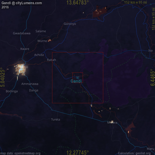
Map coordinates:
13° 38' 52.2" North, 5° 2' 24.9" East
12° 57' 48.9" North, 5° 44' 36.1" East
12° 16' 38.8" North, 6° 26' 47.4" East
Some cities around Gandi sort by population:
• Sokoto
55.3 km =34.4 mi,  281°
281°
• Talata Mafara
55.9 km =34.7 mi,  141°
141°
• Moriki
81.3 km =50.5 mi,  97°
97°
• Gwadabawa
70.1 km =43.6 mi,  308°
308°
• Wurno
50.2 km =31.2 mi,  316°
316°
• Dange
44.8 km =27.8 mi,  254°
254°
• Goronyo
53.8 km =33.4 mi,  351°
351°
• Rabah
31.1 km =19.3 mi,  304°
304°
2342125 (p: 13,940)
Sources (retrieved 2019-11-25):
» Earth at Night: Flat Maps 2012, 2016