Gusau night lights from space
Night Light of Gusau (Zamfara) from space (Nigeria) Src. Average luminocity for 10x10km area is 36.5661% and for 50x50km: 1.7524%.
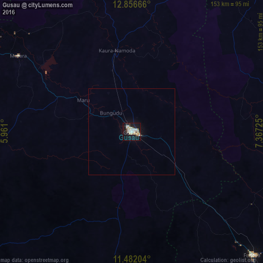
Analysis of Gusau night lights 2016
Square area 10x10 km:
 4.13%
4.13%90-99
12.81%80-89
7.02%70-79
2.48%60-69
1.65%50-59
0.83%40-49
4.96%30-39
2.48%20-29
3.93%10-19
42.15%0-9
17.56%Square area 50x50 km:
0.17%90-99
0.52%80-89
0.29%70-79
0.1%60-69
0.07%50-59
0.07%40-49
0.2%30-39
0.1%20-29
0.19%10-19
1.99%0-9
96.3%Clear (daylight) street map image can be seen on geolist.org.
Map coordinates:
12° 51' 24" North, 5° 57' 39.6" East
12° 10' 12.9" North, 6° 39' 50.8" East
11° 28' 55.3" North, 7° 22' 2.1" East
Some cities around Gusau sort by population:
• Kaura Namoda
47.8 km =29.7 mi,  349°
349°
• Talata Mafara
78.9 km =49 mi,  304°
304°
• Sauri
51 km =31.7 mi,  165°
165°
• Runka
76.6 km =47.6 mi,  66°
66°
• Anka
80.4 km =50 mi,  265°
265°
• Maru
33.6 km =20.9 mi, 302°
• Tsafe
36.6 km =22.7 mi,  130°
130°
• Kwatarkwashi
17.5 km =10.9 mi,  100°
100°
2339937 (p: 226,857)
Sources (retrieved 2019-11-25):
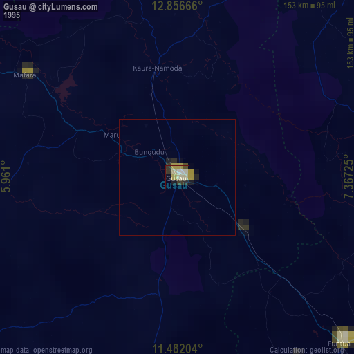
» NASA, Earths city lights 1995
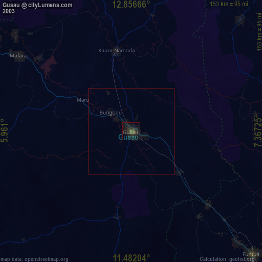
» NASA city lights 2003
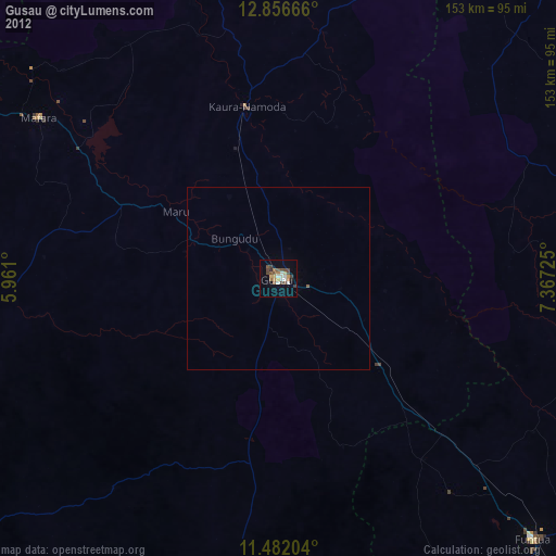
» Earth at Night: Flat Maps 2012, 2016