Talata Mafara night lights from space
Night Light of Talata Mafara (Zamfara) from space (Nigeria) Src. Average luminocity for 10x10km area is 3.842% and for 50x50km: 0.3142%.
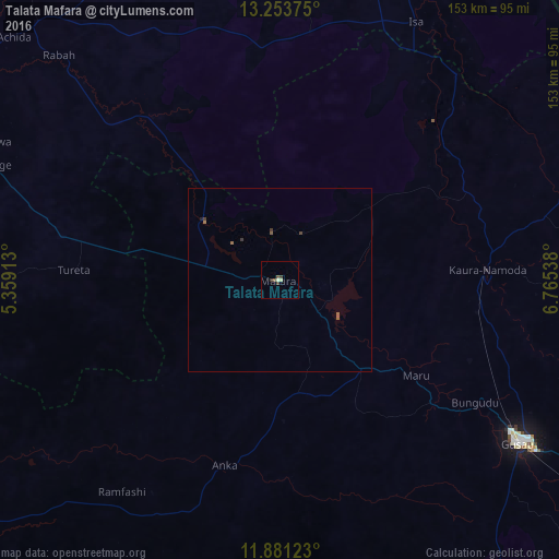
Analysis of Talata Mafara night lights 2016
Square area 10x10 km:
 0%
0%90-99
0.87%80-89
0.87%70-79
0%60-69
0%50-59
0.65%40-49
2.6%30-39
1.08%20-29
0%10-19
0%0-9
93.94%Square area 50x50 km:
0%90-99
0.03%80-89
0.03%70-79
0%60-69
0.03%50-59
0.15%40-49
0.11%30-39
0.18%20-29
0.03%10-19
0.01%0-9
99.42%Clear (daylight) street map image can be seen on geolist.org.
Map coordinates:
13° 15' 13.5" North, 5° 21' 32.9" East
12° 34' 6.3" North, 6° 3' 44.1" East
11° 52' 52.4" North, 6° 45' 55.4" East
Some cities around Talata Mafara sort by population:
• Gusau
78.9 km =49 mi,  124°
124°
• Kaura Namoda
57 km =35.4 mi,  87°
87°
• Moriki
57.3 km =35.6 mi,  53°
53°
• Gandi
55.9 km =34.7 mi,  321°
321°
• Dange
83.9 km =52.1 mi,  292°
292°
• Anka
52.7 km =32.7 mi,  196°
196°
• Maru
45.3 km =28.1 mi,  125°
125°
• Shinkafi
73.9 km =45.9 mi,  40°
40°
2322529 (p: 39,045)
Sources (retrieved 2019-11-25):
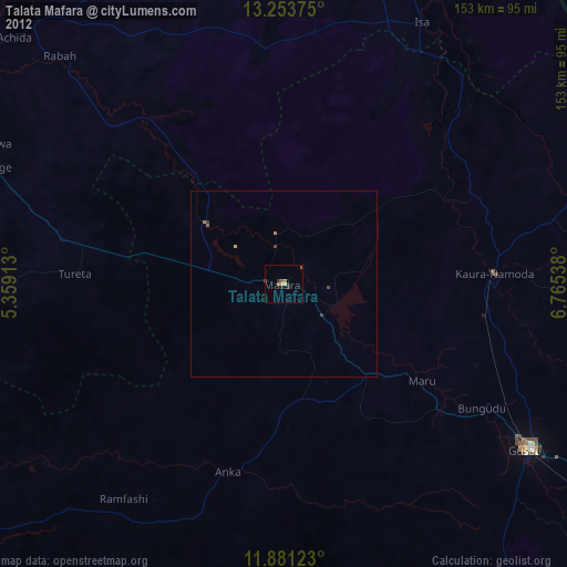
» Earth at Night: Flat Maps 2012, 2016