Maru night lights from space
Night Light of Maru (Zamfara) from space (Nigeria) Src. Average luminocity for 10x10km area is 0% and for 50x50km: 0.1437%.
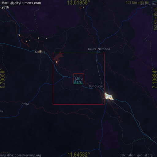
Analysis of Maru night lights 2016
Square area 10x10 km:
100  0%
0%
90-99 0%
80-89 0%
70-79 0%
60-69 0%
50-59 0%
40-49 0%
30-39 0%
20-29 0%
10-19 0%
0-9 100%
0%90-99
0%80-89
0%70-79
0%60-69
0%50-59
0%40-49
0%30-39
0%20-29
0%10-19
0%0-9
100%Square area 50x50 km:
100 0%
90-99 0%
80-89 0%
70-79 0%
60-69 0%
50-59 0.07%
40-49 0%
30-39 0%
20-29 0.02%
10-19 0.24%
0-9 99.68%
0%90-99
0%80-89
0%70-79
0%60-69
0%50-59
0.07%40-49
0%30-39
0%20-29
0.02%10-19
0.24%0-9
99.68%Clear (daylight) street map image can be seen on geolist.org.
Map coordinates:
13° 1' 10.5" North, 5° 42' 2.1" East
12° 20' 1" North, 6° 24' 13.4" East
11° 38' 45" North, 7° 6' 24.6" East
Some cities around Maru sort by population:
• Gusau
33.6 km =20.9 mi,  122°
122°
• Kaura Namoda
35.1 km =21.8 mi,  34°
34°
• Talata Mafara
45.3 km =28.1 mi,  305°
305°
• Moriki
60.8 km =37.8 mi,  8°
8°
• Sauri
79.1 km =49.2 mi,  148°
148°
• Anka
57.3 km =35.6 mi,  244°
244°
• Tsafe
70 km =43.5 mi,  126°
126°
• Kwatarkwashi
50.2 km =31.2 mi, 115°
2330717 (p: 11,496)
Sources (retrieved 2019-11-25):
» Earth at Night: Flat Maps 2012, 2016