Bena night lights from space
Night Light of Bena (Kebbi) from space (Nigeria) Src. Average luminocity for 10x10km area is 0% and for 50x50km: 0%.
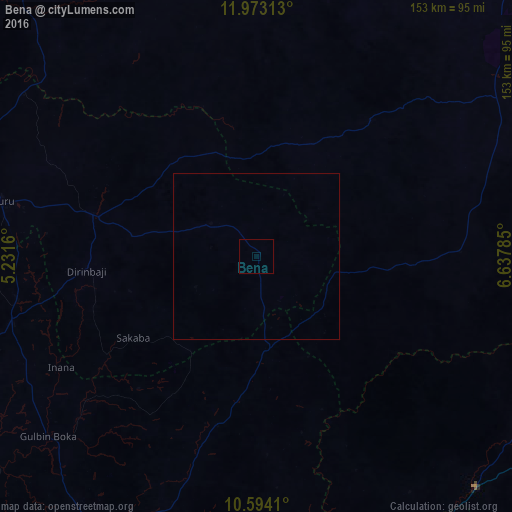
Analysis of Bena night lights 2016
Square area 10x10 km:
100  0%
0%
90-99 0%
80-89 0%
70-79 0%
60-69 0%
50-59 0%
40-49 0%
30-39 0%
20-29 0%
10-19 0%
0-9 100%
0%90-99
0%80-89
0%70-79
0%60-69
0%50-59
0%40-49
0%30-39
0%20-29
0%10-19
0%0-9
100%Square area 50x50 km:
100 0%
90-99 0%
80-89 0%
70-79 0%
60-69 0%
50-59 0%
40-49 0%
30-39 0%
20-29 0%
10-19 0%
0-9 100%
0%90-99
0%80-89
0%70-79
0%60-69
0%50-59
0%40-49
0%30-39
0%20-29
0%10-19
0%0-9
100%Clear (daylight) street map image can be seen on geolist.org.
Map coordinates:
11° 58' 23.3" North, 5° 13' 53.8" East
11° 17' 4" North, 5° 56' 5" East
10° 35' 38.8" North, 6° 38' 16.3" East
Some cities around Bena sort by population:
• Zuru
78.1 km =48.5 mi,  282°
282°
• Rijau
76.8 km =47.7 mi,  254°
254°
• Anka
92.2 km =57.3 mi,  359°
359°
• Wasagu
18.3 km =11.4 mi,  303°
303°
• Dan Sadau
61.1 km =38 mi,  88°
88°
• Mando
93.5 km =58.1 mi,  132°
132°
• Ukata
51.8 km =32.2 mi,  193°
193°
• Dabai
82.2 km =51.1 mi,  285°
285°
2347304 (p: 8,361)
Sources (retrieved 2019-11-25):
» Earth at Night: Flat Maps 2012, 2016