Goronyo night lights from space
Night Light of Goronyo (Sokoto) from space (Nigeria) Src. Average luminocity for 10x10km area is 0% and for 50x50km: 0.0781%.
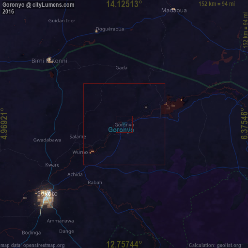
Analysis of Goronyo night lights 2016
Square area 10x10 km:
 0%
0%90-99
0%80-89
0%70-79
0%60-69
0%50-59
0%40-49
0%30-39
0%20-29
0%10-19
0%0-9
100%Square area 50x50 km:
0%90-99
0%80-89
0%70-79
0%60-69
0%50-59
0.08%40-49
0.02%30-39
0.03%20-29
0.02%10-19
0%0-9
99.85%Clear (daylight) street map image can be seen on geolist.org.
Map coordinates:
14° 7' 30.5" North, 4° 58' 9.2" East
13° 26' 32.1" North, 5° 40' 20.4" East
12° 45' 26.8" North, 6° 22' 31.7" East
Some cities around Goronyo sort by population:
• Sokoto
62.8 km =39 mi,  227°
227°
• Birni N Konni, NE
60.2 km =37.4 mi,  310°
310°
• Gwadabawa
47.9 km =29.8 mi,  258°
258°
• Illela
51.6 km =32.1 mi, 308°
• Gandi
53.8 km =33.4 mi,  171°
171°
• Wurno
31.8 km =19.8 mi,  237°
237°
• Dange
74.4 km =46.2 mi,  208°
208°
• Rabah
39.8 km =24.7 mi, 206°
2340323 (p: 10,460)
Sources (retrieved 2019-11-25):
» Earth at Night: Flat Maps 2012, 2016