Alaghsas night lights from space
Night Light of Alaghsas (Agadez) from space (Niger) Src. Average luminocity for 10x10km area is 7.619% and for 50x50km: 0.6558%.
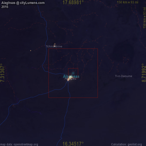
Analysis of Alaghsas night lights 2016
Square area 10x10 km:
 1.08%
1.08%90-99
0.65%80-89
1.3%70-79
0.87%60-69
0.43%50-59
3.03%40-49
0%30-39
1.3%20-29
1.52%10-19
0.43%0-9
89.39%Square area 50x50 km:
0.05%90-99
0.05%80-89
0.07%70-79
0.09%60-69
0.1%50-59
0.21%40-49
0.05%30-39
0.16%20-29
0.06%10-19
0.06%0-9
99.11%Clear (daylight) street map image can be seen on geolist.org.
Map coordinates:
17° 41' 23.3" North, 7° 18' 49.2" East
17° 1' 7.3" North, 8° 1' 0.5" East
16° 20' 42.6" North, 8° 43' 11.7" East
Some cities around Alaghsas sort by population:
• Agadez
5.7 km =3.5 mi,  208°
208°
• Mayahi
342.6 km =212.9 mi,  186°
186°
• Dakoro
309.4 km =192.3 mi, 205°
• Tanout
246 km =152.9 mi,  157°
157°
• Abalak
254.5 km =158.1 mi,  226°
226°
• Keïta
347.6 km =216 mi,  223°
223°
• Tchintabaraden
267.4 km =166.2 mi,  242°
242°
• Bouza
357.7 km =222.3 mi, 216°
2447938 (p: 88,561)
Sources (retrieved 2019-11-25):
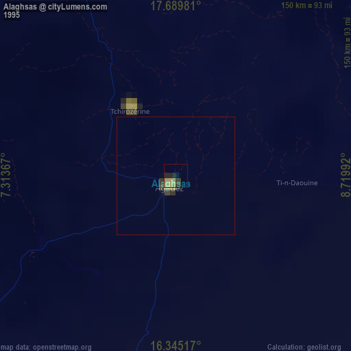
» NASA, Earths city lights 1995
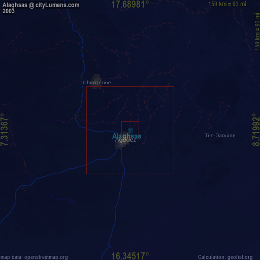
» NASA city lights 2003
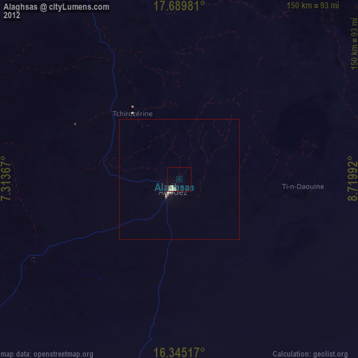
» Earth at Night: Flat Maps 2012, 2016