Khorixas night lights from space
Night Light of Khorixas (Kunene) from space (Namibia) Src. Average luminocity for 10x10km area is 4.2424% and for 50x50km: 0.1805%.
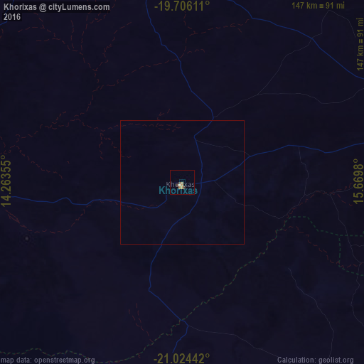
Analysis of Khorixas night lights 2016
Square area 10x10 km:
 0%
0%90-99
0.57%80-89
0.38%70-79
1.33%60-69
1.52%50-59
0%40-49
0.76%30-39
1.33%20-29
0.19%10-19
0%0-9
93.94%Square area 50x50 km:
0%90-99
0.02%80-89
0.02%70-79
0.06%60-69
0.06%50-59
0%40-49
0.03%30-39
0.06%20-29
0.01%10-19
0%0-9
99.74%Clear (daylight) street map image can be seen on geolist.org.
Map coordinates:
19° 42' 22" South, 14° 15' 48.8" East
20° 22' 0" South, 14° 58' 0" East
21° 1' 27.9" South, 15° 40' 11.3" East
Some cities around Khorixas sort by population:
• Swakopmund
261 km =162.2 mi,  190°
190°
• Otjiwarongo
175.5 km =109.1 mi,  93°
93°
• Omaruru
155.4 km =96.6 mi,  139°
139°
• Usakos
193.1 km =120 mi,  160°
160°
• Otjimbingwe
251.4 km =156.2 mi,  151°
151°
• Karibib
196 km =121.8 mi, 152°
• Outjo
126.5 km =78.6 mi,  77°
77°
• Okakarara
258.1 km =160.4 mi,  95°
95°
3356213 (p: 12,021)
Sources (retrieved 2019-11-25):
» Earth at Night: Flat Maps 2012, 2016