Otjiwarongo night lights from space
Night Light of Otjiwarongo (Otjozondjupa) from space (Namibia) Src. Average luminocity for 10x10km area is 18.9981% and for 50x50km: 0.8889%.
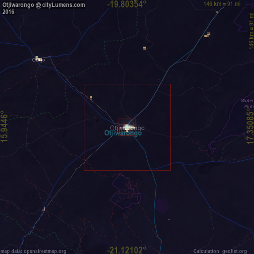
Analysis of Otjiwarongo night lights 2016
Square area 10x10 km:
 3.79%
3.79%90-99
3.22%80-89
2.65%70-79
3.6%60-69
0.38%50-59
1.52%40-49
0.95%30-39
2.08%20-29
1.33%10-19
9.66%0-9
70.83%Square area 50x50 km:
0.16%90-99
0.14%80-89
0.11%70-79
0.18%60-69
0.02%50-59
0.06%40-49
0.04%30-39
0.09%20-29
0.09%10-19
0.41%0-9
98.71%Clear (daylight) street map image can be seen on geolist.org.
Map coordinates:
19° 48' 12.7" South, 15° 56' 40.6" East
20° 27' 49.3" South, 16° 38' 51.8" East
21° 7' 15.7" South, 17° 21' 3.1" East
Some cities around Otjiwarongo sort by population:
• Grootfontein
183 km =113.7 mi,  56°
56°
• Okahandja
171.3 km =106.4 mi,  170°
170°
• Tsumeb
176.7 km =109.8 mi,  39°
39°
• Khorixas
175.5 km =109.1 mi,  273°
273°
• Omaruru
130.9 km =81.3 mi,  214°
214°
• Karibib
183.9 km =114.3 mi, 207°
• Outjo
64.7 km =40.2 mi,  306°
306°
• Okakarara
82.9 km =51.5 mi,  99°
99°
3353811 (p: 21,224)
Sources (retrieved 2019-11-25):
» Earth at Night: Flat Maps 2012, 2016