Mandimba night lights from space
Night Light of Mandimba (Niassa) from space (Mozambique) Src. Average luminocity for 10x10km area is 4.8528% and for 50x50km: 0.2388%.
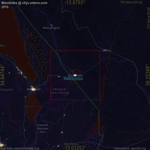
Analysis of Mandimba night lights 2016
Square area 10x10 km:
 0.43%
0.43%90-99
1.3%80-89
0%70-79
0%60-69
2.6%50-59
0.22%40-49
0.65%30-39
0%20-29
0.87%10-19
0.87%0-9
93.07%Square area 50x50 km:
0.02%90-99
0.05%80-89
0%70-79
0%60-69
0.1%50-59
0.04%40-49
0.03%30-39
0.05%20-29
0.05%10-19
0.05%0-9
99.62%Clear (daylight) street map image can be seen on geolist.org.
Map coordinates:
13° 40' 13.1" South, 34° 56' 50.8" East
14° 21' 9" South, 35° 39' 2" East
15° 1' 57.5" South, 36° 21' 13.3" East
Some cities around Mandimba sort by population:
• Lichinga
123.8 km =76.9 mi,  339°
339°
• Zomba, MW
120.3 km =74.8 mi,  197°
197°
• Cuamba
107.8 km =67 mi,  117°
117°
• Mangochi, MW
43.9 km =27.3 mi,  251°
251°
• Liwonde, MW
91.6 km =56.9 mi,  209°
209°
• Balaka, MW
102.2 km =63.5 mi,  227°
227°
• Monkey Bay, MW
84.6 km =52.6 mi,  290°
290°
• Ntcheu, MW
120.9 km =75.1 mi,  244°
244°
1041190 (p: 118,922)
Sources (retrieved 2019-11-25):
» NASA, Earths city lights 1995
» NASA city lights 2003
» Earth at Night: Flat Maps 2012, 2016