Liwonde night lights from space
Night Light of Liwonde (Southern Region) from space (Malawi) Src. Average luminocity for 10x10km area is 8.3058% and for 50x50km: 0.4678%.
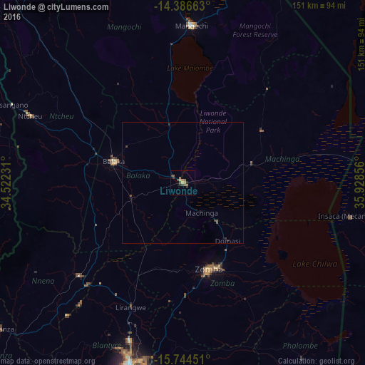
Analysis of Liwonde night lights 2016
Square area 10x10 km:
 0%
0%90-99
0%80-89
0.83%70-79
0.83%60-69
3.31%50-59
2.48%40-49
2.27%30-39
2.07%20-29
2.07%10-19
0.21%0-9
85.95%Square area 50x50 km:
0%90-99
0%80-89
0.03%70-79
0.03%60-69
0.13%50-59
0.17%40-49
0.17%30-39
0.13%20-29
0.12%10-19
0.04%0-9
99.17%Clear (daylight) street map image can be seen on geolist.org.
Map coordinates:
14° 23' 11.9" South, 34° 31' 20.3" East
15° 3' 59.9" South, 35° 13' 31.5" East
15° 44' 40.2" South, 35° 55' 42.8" East
Some cities around Liwonde sort by population:
• Blantyre
83.2 km =51.7 mi,  196°
196°
• Mandimba, MZ
91.6 km =56.9 mi,  29°
29°
• Zomba
36.9 km =22.9 mi,  164°
164°
• Mangochi
65.6 km =40.8 mi,  3°
3°
• Balaka
30.5 km =19 mi,  288°
288°
• Luchenza
104.9 km =65.2 mi,  175°
175°
• Mwanza
95.9 km =59.6 mi,  231°
231°
• Ntcheu
69 km =42.9 mi, 293°
927834 (p: 22,469)
Sources (retrieved 2019-11-25):
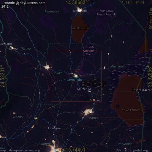
» Earth at Night: Flat Maps 2012, 2016