Balaka night lights from space
Night Light of Balaka (Southern Region) from space (Malawi) Src. Average luminocity for 10x10km area is 10.8285% and for 50x50km: 0.5599%.
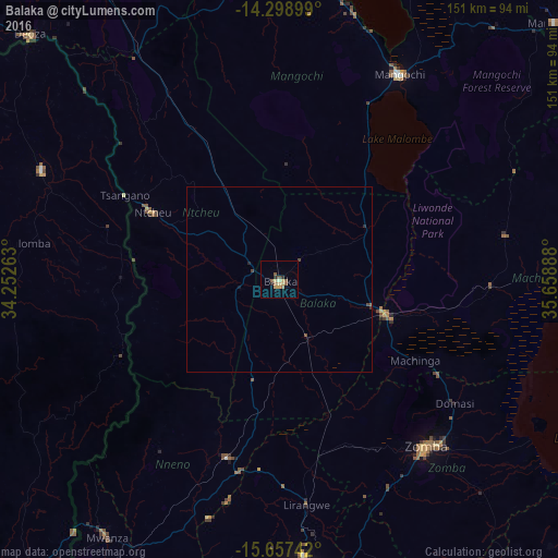
Analysis of Balaka night lights 2016
Square area 10x10 km:
 0%
0%90-99
0.62%80-89
2.69%70-79
2.48%60-69
1.65%50-59
3.31%40-49
0.83%30-39
1.45%20-29
1.03%10-19
1.24%0-9
84.71%Square area 50x50 km:
0%90-99
0.02%80-89
0.11%70-79
0.1%60-69
0.07%50-59
0.18%40-49
0.12%30-39
0.09%20-29
0.11%10-19
0.08%0-9
99.12%Clear (daylight) street map image can be seen on geolist.org.
Map coordinates:
14° 17' 56.4" South, 34° 15' 9.5" East
14° 58' 45.4" South, 34° 57' 20.7" East
15° 39' 26.7" South, 35° 39' 32" East
Some cities around Balaka sort by population:
• Blantyre
89.8 km =55.8 mi,  176°
176°
• Zomba
59.7 km =37.1 mi,  139°
139°
• Mangochi
64.9 km =40.3 mi,  30°
30°
• Liwonde
30.5 km =19 mi,  108°
108°
• Dedza
94.6 km =58.8 mi,  314°
314°
• Monkey Bay
99.8 km =62 mi,  357°
357°
• Mwanza
83.3 km =51.8 mi,  213°
213°
• Ntcheu
38.7 km =24 mi,  297°
297°
931865 (p: 18,902)
Sources (retrieved 2019-11-25):
» Earth at Night: Flat Maps 2012, 2016