Zomba night lights from space
Night Light of Zomba (Southern Region) from space (Malawi) Src. Average luminocity for 10x10km area is 23.1472% and for 50x50km: 1.2737%.
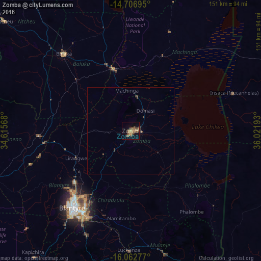
Analysis of Zomba night lights 2016
Square area 10x10 km:
 0%
0%90-99
0%80-89
3.46%70-79
6.28%60-69
8.44%50-59
4.76%40-49
3.68%30-39
3.03%20-29
2.6%10-19
10.82%0-9
56.93%Square area 50x50 km:
0%90-99
0%80-89
0.13%70-79
0.26%60-69
0.34%50-59
0.32%40-49
0.23%30-39
0.32%20-29
0.24%10-19
0.47%0-9
97.7%Clear (daylight) street map image can be seen on geolist.org.
Map coordinates:
14° 42' 25" South, 34° 36' 56.4" East
15° 23' 9.5" South, 35° 19' 7.7" East
16° 3' 46" South, 36° 1' 18.9" East
Some cities around Zomba sort by population:
• Blantyre
55.4 km =34.4 mi,  216°
216°
• Liwonde
36.9 km =22.9 mi,  344°
344°
• Balaka
59.7 km =37.1 mi,  319°
319°
• Mulanje
74.4 km =46.2 mi,  164°
164°
• Luchenza
69.1 km =42.9 mi,  180°
180°
• Mwanza
88.4 km =54.9 mi,  254°
254°
• Chikwawa
90.9 km =56.5 mi, 217°
• Thyolo
78.2 km =48.6 mi,  194°
194°
923295 (p: 80,932)
Sources (retrieved 2019-11-25):
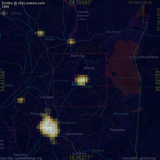
» NASA, Earths city lights 1995
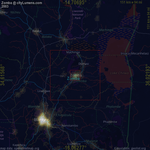
» NASA city lights 2003
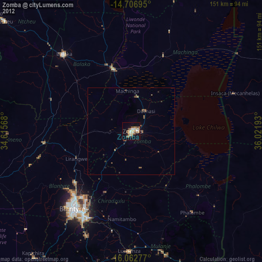
» Earth at Night: Flat Maps 2012, 2016