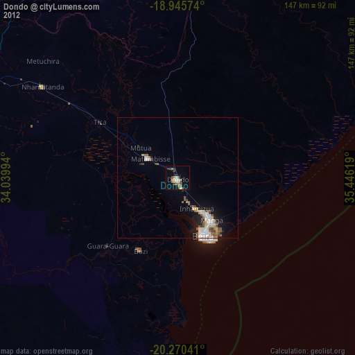
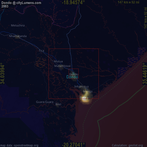
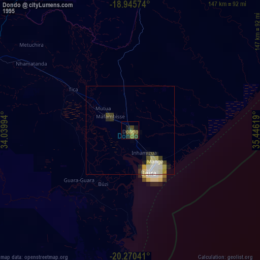
Dondo night lights from space
Night Light of Dondo (Sofala) from space (Mozambique) Src. Average luminocity for 10x10km area is 20.874% and for 50x50km: 5.6589%.

Analysis of Dondo night lights 2016
Square area 10x10 km:
 2.48%
2.48%90-99
2.48%80-89
0%70-79
5.99%60-69
3.51%50-59
2.07%40-49
3.51%30-39
3.93%20-29
2.27%10-19
10.12%0-9
63.64%Square area 50x50 km:
1.1%90-99
1.05%80-89
0.42%70-79
0.63%60-69
0.48%50-59
0.62%40-49
0.98%30-39
0.8%20-29
1.27%10-19
3.18%0-9
89.48%Clear (daylight) street map image can be seen on geolist.org.
Map coordinates:
18° 56' 44.7" South, 34° 2' 23.8" East
19° 36' 34" South, 34° 44' 35" East
20° 16' 13.5" South, 35° 26' 46.3" East
Some cities around Dondo sort by population:
• Beira
27.9 km =17.3 mi,  158°
158°
• Chimoio
143.1 km =88.9 mi,  292°
292°
• Quelimane
296.7 km =184.4 mi,  49°
49°
• Mutare, ZW
228.8 km =142.2 mi, 288°
• Rusape, ZW
299.9 km =186.3 mi, 293°
• Chipinge, ZW
230.7 km =143.4 mi,  253°
253°
• Chinde
213.5 km =132.7 mi,  57°
57°
• Penhalonga, ZW
229.1 km =142.4 mi, 290°
1024696 (p: 78,648)
Sources (retrieved 2019-11-25):
» NASA, Earths city lights 1995
» NASA city lights 2003
» Earth at Night: Flat Maps 2012, 2016