Chinde night lights from space
Night Light of Chinde (Zambézia) from space (Mozambique) Src. Average luminocity for 10x10km area is 0.4876% and for 50x50km: 0.0192%.
Analysis of Chinde night lights 2016
Square area 10x10 km:
 0%
0%90-99
0%80-89
0%70-79
0%60-69
0%50-59
0.83%40-49
0%30-39
0%20-29
0%10-19
0%0-9
99.17%Square area 50x50 km:
0%90-99
0%80-89
0%70-79
0%60-69
0%50-59
0.03%40-49
0%30-39
0%20-29
0%10-19
0%0-9
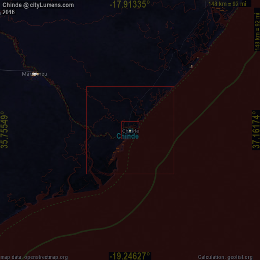
99.97%Clear (daylight) street map image can be seen on geolist.org.
Map coordinates:
17° 54' 48.1" South, 35° 45' 19.8" East
18° 34' 52" South, 36° 27' 31" East
19° 14' 46.6" South, 37° 9' 42.3" East
Some cities around Chinde sort by population:
• Beira
220.5 km =137 mi,  230°
230°
• Chimoio
318.7 km =198 mi,  259°
259°
• Quelimane
90.3 km =56.1 mi,  30°
30°
• Dondo
213.5 km =132.7 mi,  237°
237°
• Nsanje, MW
224 km =139.2 mi,  325°
325°
• Mulanje, MW
301.2 km =187.2 mi,  340°
340°
• Luchenza, MW
311.1 km =193.3 mi, 336°
• Thyolo, MW
312.5 km =194.2 mi, 333°
1024697 (p: 16,500)
Sources (retrieved 2019-11-25):
» Earth at Night: Flat Maps 2012, 2016