Quelimane night lights from space
Night Light of Quelimane (Zambézia) from space (Mozambique) Src. Average luminocity for 10x10km area is 34.7922% and for 50x50km: 1.7091%.
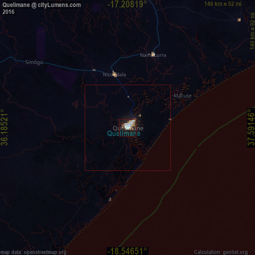
Analysis of Quelimane night lights 2016
Square area 10x10 km:
 9.09%
9.09%90-99
9.96%80-89
0%70-79
1.95%60-69
5.41%50-59
1.3%40-49
5.84%30-39
2.6%20-29
3.68%10-19
28.57%0-9
31.6%Square area 50x50 km:
0.34%90-99
0.38%80-89
0%70-79
0.1%60-69
0.24%50-59
0.09%40-49
0.27%30-39
0.15%20-29
0.25%10-19
1.8%0-9
96.38%Clear (daylight) street map image can be seen on geolist.org.
Map coordinates:
17° 12' 29.5" South, 36° 11' 6.8" East
17° 52' 43" South, 36° 53' 18" East
18° 32' 47.4" South, 37° 35' 29.3" East
Some cities around Quelimane sort by population:
• Blantyre, MW
306.9 km =190.7 mi,  319°
319°
• Dondo
296.7 km =184.4 mi,  229°
229°
• Nsanje, MW
202.8 km =126 mi,  301°
301°
• Chinde
90.3 km =56.1 mi,  210°
210°
• Mulanje, MW
252.9 km =157.1 mi, 324°
• Luchenza, MW
267.4 km =166.2 mi, 321°
• Chikwawa, MW
302.3 km =187.8 mi,  312°
312°
• Thyolo, MW
274 km =170.3 mi, 317°
1028434 (p: 188,964)
Sources (retrieved 2019-11-25):
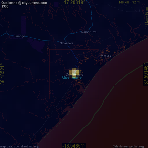
» NASA, Earths city lights 1995
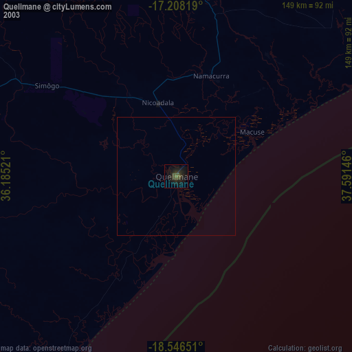
» NASA city lights 2003
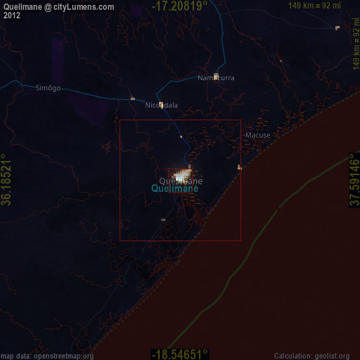
» Earth at Night: Flat Maps 2012, 2016