Bahau night lights from space
Night Light of Bahau (Negeri Sembilan) from space (Malaysia) Src. Average luminocity for 10x10km area is 27.9242% and for 50x50km: 8.5543%.
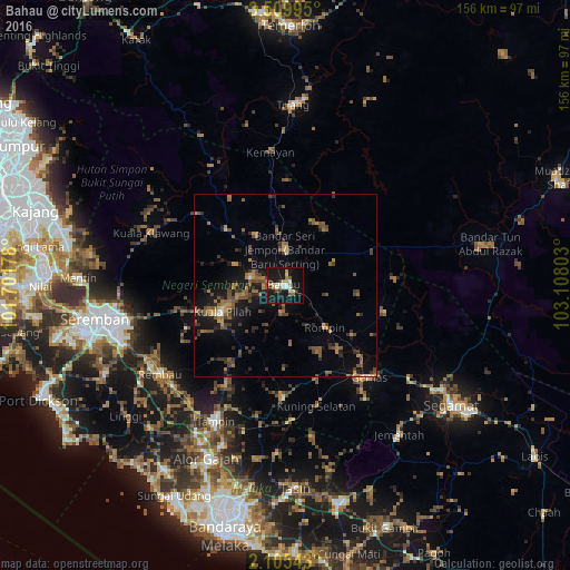
Analysis of Bahau night lights 2016
Square area 10x10 km:
 3.68%
3.68%90-99
4.33%80-89
3.25%70-79
2.38%60-69
5.41%50-59
3.46%40-49
0.87%30-39
3.25%20-29
3.9%10-19
48.27%0-9
21.21%Square area 50x50 km:
0.2%90-99
0.38%80-89
0.35%70-79
1.08%60-69
1.71%50-59
2.35%40-49
2.22%30-39
1.64%20-29
2.24%10-19
7.87%0-9
79.95%Clear (daylight) street map image can be seen on geolist.org.
Map coordinates:
3° 30' 35.8" North, 101° 42' 6.4" East
2° 48' 28.4" North, 102° 24' 17.6" East
2° 6' 19.5" North, 103° 6' 28.9" East
Some cities around Bahau sort by population:
• Seremban
52.6 km =32.7 mi,  260°
260°
• Segamat
56.1 km =34.9 mi,  125°
125°
• Tampin
42.3 km =26.3 mi,  207°
207°
• Alor Gajah
52.3 km =32.5 mi,  204°
204°
• Kuala Pilah
19 km =11.8 mi,  246°
246°
• Bemban
60.1 km =37.3 mi,  183°
183°
• Buloh Kasap
48.9 km =30.4 mi, 125°
• Pulau Sebang
43.6 km =27.1 mi, 205°
1734839 (p: 31,273)
Sources (retrieved 2019-11-25):
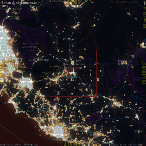
» Earth at Night: Flat Maps 2012, 2016