Semenyih night lights from space
Night Light of Semenyih (Selangor) from space (Malaysia) Src. Average luminocity for 10x10km area is 78.2035% and for 50x50km: 50.4785%.
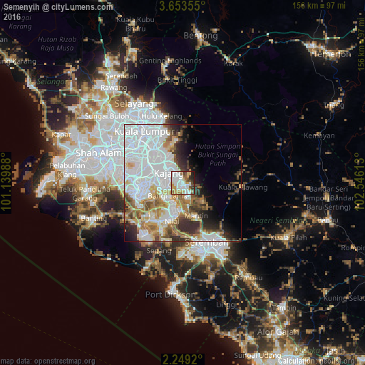
Analysis of Semenyih night lights 2016
Square area 10x10 km:
 27.49%
90-99
22.94%80-89
11.04%70-79
9.52%60-69
3.25%50-59
6.71%40-49
6.49%30-39
5.19%20-29
5.84%10-19
1.52%0-9
0%Square area 50x50 km:
22.98%90-99
9.55%80-89
3.97%70-79
4.72%60-69
5.38%50-59
4.01%40-49
4.3%30-39
3.78%20-29
5.43%10-19
4.85%0-9
31.02%Clear (daylight) street map image can be seen on geolist.org.
Map coordinates:
3° 39' 12.8" North, 101° 8' 23.6" East
2° 57' 5.8" North, 101° 50' 34.8" East
2° 14' 57.1" North, 102° 32' 46.1" East
Some cities around Semenyih sort by population:
• Kuala Lumpur
27.3 km =17 mi,  320°
320°
• Seremban
26.8 km =16.7 mi,  156°
156°
• Sepang
30.5 km =19 mi,  199°
199°
• Ampang
23.6 km =14.7 mi,  338°
338°
• Kampong Baharu Balakong
13.8 km =8.6 mi,  311°
311°
• Putra Heights
30.4 km =18.9 mi,  278°
278°
• Putrajaya
17 km =10.6 mi,  263°
263°
• Kampung Baharu Nilai
17.3 km =10.7 mi, 197°
1734798 (p: 92,491)
Sources (retrieved 2019-11-25):
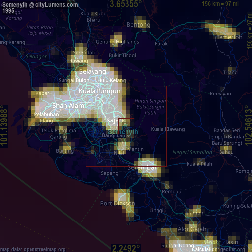
» NASA, Earths city lights 1995
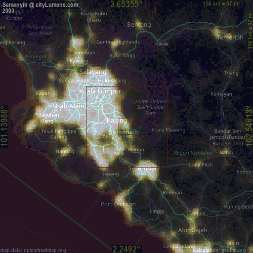
» NASA city lights 2003
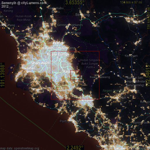
» Earth at Night: Flat Maps 2012, 2016