Lawas night lights from space
Night Light of Lawas (Sarawak) from space (Malaysia) Src. Average luminocity for 10x10km area is 2.8182% and for 50x50km: 0.4036%.
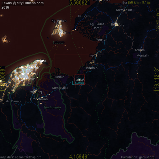
Analysis of Lawas night lights 2016
Square area 10x10 km:
 0%
0%90-99
1.03%80-89
0.62%70-79
0.83%60-69
0.21%50-59
0.62%40-49
0%30-39
0%20-29
0%10-19
0%0-9
96.69%Square area 50x50 km:
0%90-99
0.04%80-89
0.03%70-79
0.03%60-69
0.08%50-59
0.09%40-49
0.25%30-39
0.1%20-29
0.07%10-19
0.04%0-9
99.26%Clear (daylight) street map image can be seen on geolist.org.
Map coordinates:
5° 33' 38.2" North, 114° 42' 21.2" East
4° 51' 37.4" North, 115° 24' 32.4" East
4° 9' 34.1" North, 116° 6' 43.7" East
Some cities around Lawas sort by population:
• Keningau
98.7 km =61.3 mi,  57°
57°
• Labuan
50 km =31.1 mi,  339°
339°
• Bandar Seri Begawan, BN
52.1 km =32.4 mi,  273°
273°
• Bandar Labuan
50.1 km =31.1 mi, 341°
• Limbang
46.9 km =29.1 mi,  254°
254°
• Tutong, BN
84.4 km =52.4 mi, 265°
• Beaufort
65.7 km =40.8 mi,  34°
34°
• Bangar, BN
41 km =25.5 mi, 245°
1737589 (p: 38,385)
Sources (retrieved 2019-11-25):
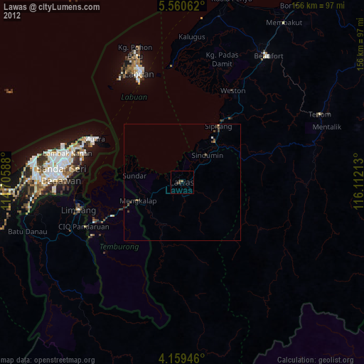
» Earth at Night: Flat Maps 2012, 2016