Bandar Seri Begawan night lights from space
Night Light of Bandar Seri Begawan (Brunei-Muara District) from space (Brunei) Src. Average luminocity for 10x10km area is 77.5207% and for 50x50km: 17.5284%.
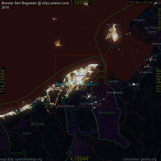

Analysis of Bandar Seri Begawan night lights 2016
Square area 10x10 km:
 28.31%
90-99
23.55%80-89
4.55%70-79
5.37%60-69
13.02%50-59
6.4%40-49
7.64%30-39
5.79%20-29
3.93%10-19
1.45%0-9
0%Square area 50x50 km:
3.15%90-99
3.45%80-89
2.04%70-79
1.7%60-69
2.62%50-59
2.03%40-49
2.71%30-39
2.62%20-29
4.1%10-19
9.92%0-9
65.66%Clear (daylight) street map image can be seen on geolist.org.
Map coordinates:
5° 35' 25.9" North, 114° 14' 13" East
4° 53' 25.3" North, 114° 56' 24.2" East
4° 11' 22" North, 115° 38' 35.5" East
Some cities around Bandar Seri Begawan sort by population:
• Labuan, MY
55.1 km =34.2 mi,  38°
38°
• Lawas, MY
52.1 km =32.4 mi,  93°
93°
• Kuala Belait
85.6 km =53.2 mi,  246°
246°
• Seria
75.1 km =46.7 mi, 245°
• Limbang, MY
17 km =10.6 mi,  156°
156°
• Tutong
33.7 km =20.9 mi, 253°
• Beaufort, MY
102.7 km =63.8 mi,  60°
60°
• Bangar
24.9 km =15.5 mi,  144°
144°
1820906 (p: 64,409)
Sources (retrieved 2019-11-25):
» NASA, Earths city lights 1995
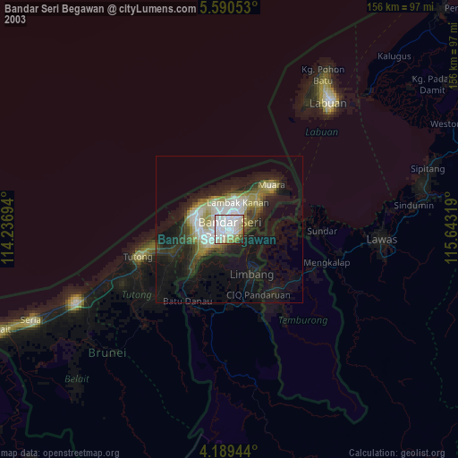
» NASA city lights 2003
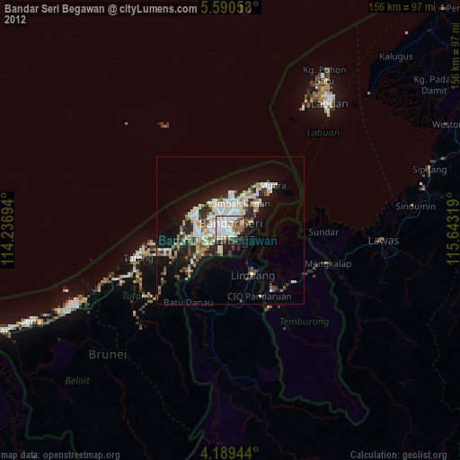
» Earth at Night: Flat Maps 2012, 2016