Bandar Labuan night lights from space
Night Light of Bandar Labuan (Sabah) from space (Malaysia) Src. Average luminocity for 10x10km area is 41.8636% and for 50x50km: 3.9943%.
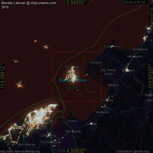
Analysis of Bandar Labuan night lights 2016
Square area 10x10 km:
 10.54%
90-99
10.74%80-89
4.34%70-79
4.96%60-69
5.79%50-59
2.07%40-49
2.89%30-39
2.48%20-29
9.09%10-19
22.11%0-9
25%Square area 50x50 km:
0.5%90-99
0.69%80-89
0.39%70-79
0.39%60-69
0.6%50-59
0.62%40-49
0.55%30-39
0.39%20-29
1.1%10-19
3.33%0-9
91.45%Clear (daylight) street map image can be seen on geolist.org.
Map coordinates:
5° 59' 18.8" North, 114° 33' 58" East
5° 17' 19.8" North, 115° 16' 9.3" East
4° 35' 18" North, 115° 58' 20.5" East
Some cities around Bandar Labuan sort by population:
• Keningau
98.8 km =61.4 mi,  86°
86°
• Labuan
2.6 km =1.6 mi,  248°
248°
• Lawas
50.1 km =31.1 mi,  161°
161°
• Limbang
66.9 km =41.6 mi,  206°
206°
• Papar
88.6 km =55.1 mi,  56°
56°
• Tutong, BN
87.4 km =54.3 mi,  231°
231°
• Beaufort
53.1 km =33 mi,  82°
82°
• Bangar, BN
68.1 km =42.3 mi,  198°
198°
7302815 (p: 54,752)
Sources (retrieved 2019-11-25):
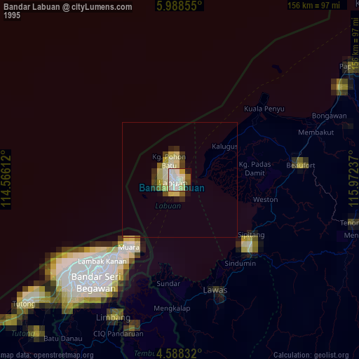
» NASA, Earths city lights 1995
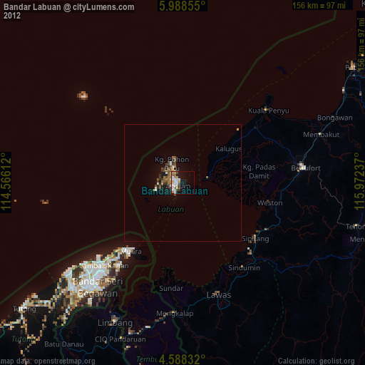
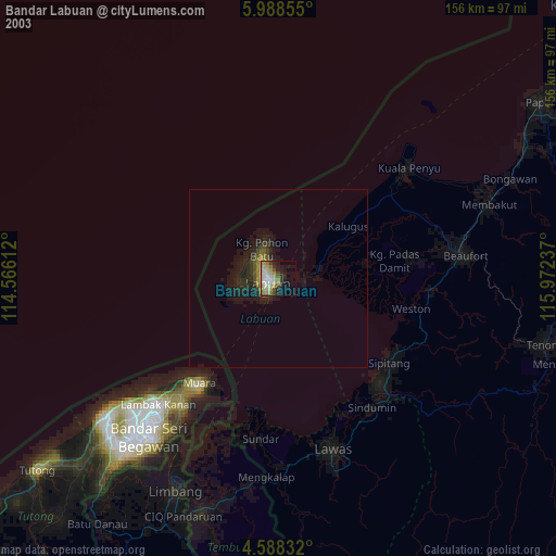
» NASA city lights 2003
» Earth at Night: Flat Maps 2012, 2016