Bangar night lights from space
Night Light of Bangar (Temburong) from space (Brunei) Src. Average luminocity for 10x10km area is 3.3988% and for 50x50km: 7.0385%.
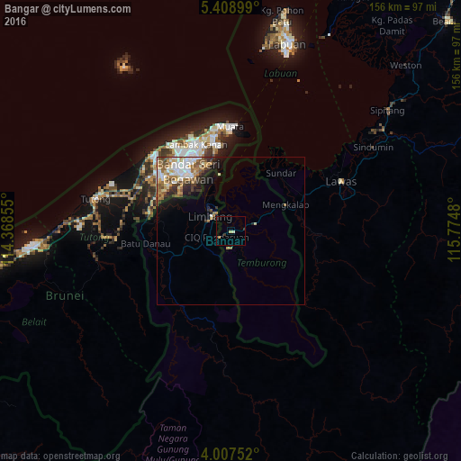
Analysis of Bangar night lights 2016
Square area 10x10 km:
 0%
0%90-99
0.83%80-89
0.21%70-79
1.45%60-69
0%50-59
0%40-49
0%30-39
1.65%20-29
0%10-19
0%0-9
95.87%Square area 50x50 km:
1.41%90-99
1.38%80-89
0.79%70-79
0.75%60-69
1.38%50-59
0.94%40-49
1.09%30-39
0.98%20-29
1.05%10-19
2.23%0-9
88%Clear (daylight) street map image can be seen on geolist.org.
Map coordinates:
5° 24' 32.4" North, 114° 22' 6.8" East
4° 42' 31" North, 115° 4' 18" East
4° 0' 27.1" North, 115° 46' 29.3" East
Some cities around Bangar sort by population:
• Labuan, MY
66.5 km =41.3 mi,  17°
17°
• Bandar Seri Begawan
24.9 km =15.5 mi,  324°
324°
• Bandar Labuan, MY
68.1 km =42.3 mi, 18°
• Lawas, MY
41 km =25.5 mi,  65°
65°
• Kuala Belait
94.2 km =58.5 mi,  261°
261°
• Seria
83.6 km =51.9 mi, 262°
• Limbang, MY
9.2 km =5.7 mi,  300°
300°
• Tutong
48 km =29.8 mi,  282°
282°
1820903 (p: 3,970)
Sources (retrieved 2019-11-25):
» Earth at Night: Flat Maps 2012, 2016