Keningau night lights from space
Night Light of Keningau (Sabah) from space (Malaysia) Src. Average luminocity for 10x10km area is 20.0207% and for 50x50km: 0.9506%.
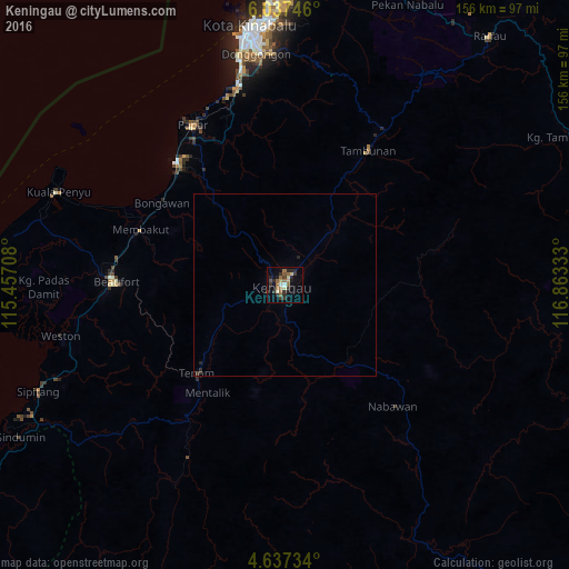

Analysis of Keningau night lights 2016
Square area 10x10 km:
 0.62%
0.62%90-99
2.48%80-89
2.27%70-79
1.24%60-69
3.31%50-59
6.2%40-49
2.07%30-39
6.61%20-29
7.44%10-19
4.13%0-9
63.64%Square area 50x50 km:
0.03%90-99
0.1%80-89
0.09%70-79
0.05%60-69
0.14%50-59
0.26%40-49
0.09%30-39
0.33%20-29
0.44%10-19
0.17%0-9
98.3%Clear (daylight) street map image can be seen on geolist.org.
Map coordinates:
6° 2' 14.9" North, 115° 27' 25.5" East
5° 20' 16.1" North, 116° 9' 36.7" East
4° 38' 14.4" North, 116° 51' 48" East
Some cities around Keningau sort by population:
• Kota Kinabalu
71.5 km =44.4 mi,  352°
352°
• Putatan
66.3 km =41.2 mi, 350°
• Donggongon
63.6 km =39.5 mi, 354°
• Lawas
98.7 km =61.3 mi,  237°
237°
• Ranau
88.3 km =54.9 mi,  39°
39°
• Papar
50.6 km =31.4 mi,  330°
330°
• Beaufort
45.9 km =28.5 mi,  271°
271°
• Kinarut
55.4 km =34.4 mi, 346°
1734098 (p: 77,650)
Sources (retrieved 2019-11-25):
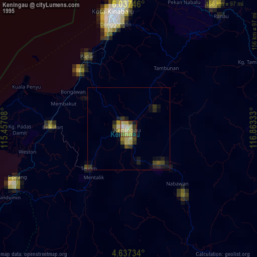
» NASA, Earths city lights 1995
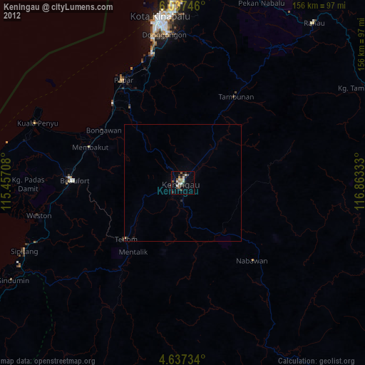
» NASA city lights 2003
» Earth at Night: Flat Maps 2012, 2016