Cukai night lights from space
Night Light of Cukai (Terengganu) from space (Malaysia) Src. Average luminocity for 10x10km area is 53.0108% and for 50x50km: 7.4679%.
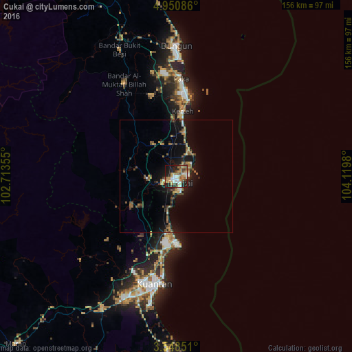
Analysis of Cukai night lights 2016
Square area 10x10 km:
 9.74%
9.74%90-99
8.44%80-89
6.49%70-79
11.04%60-69
10.61%50-59
4.55%40-49
7.58%30-39
4.33%20-29
21.65%10-19
14.29%0-9
1.3%Square area 50x50 km:
0.6%90-99
0.58%80-89
0.76%70-79
1.34%60-69
1.17%50-59
1.22%40-49
1.35%30-39
0.76%20-29
1.75%10-19
6.54%0-9
83.92%Clear (daylight) street map image can be seen on geolist.org.
Map coordinates:
4° 57' 3.1" North, 102° 42' 48.8" East
4° 15' 0" North, 103° 25' 0" East
3° 32' 54.6" North, 104° 7' 11.3" East
Some cities around Cukai sort by population:
• Kuantan
50.2 km =31.2 mi,  191°
191°
• Kuala Terengganu
123.9 km =77 mi,  345°
345°
• Temerluh
142.1 km =88.3 mi,  231°
231°
• Jerantut
122 km =75.8 mi,  253°
253°
• Pekan
85.2 km =52.9 mi,  181°
181°
• Kertih
29.6 km =18.4 mi,  6°
6°
• Marang
108.8 km =67.6 mi, 347°
• Paka
43.1 km =26.8 mi,  2°
2°
1732945 (p: 82,425)
Sources (retrieved 2019-11-25):
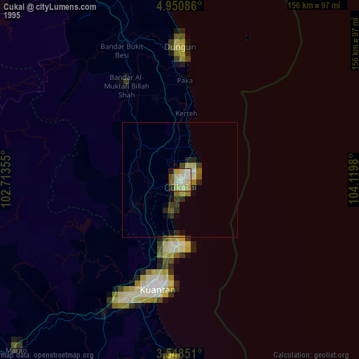
» NASA, Earths city lights 1995
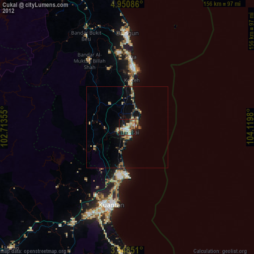
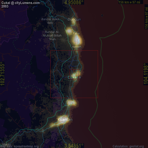
» NASA city lights 2003
» Earth at Night: Flat Maps 2012, 2016