Paka night lights from space
Night Light of Paka (Terengganu) from space (Malaysia) Src. Average luminocity for 10x10km area is 38.343% and for 50x50km: 10.4504%.
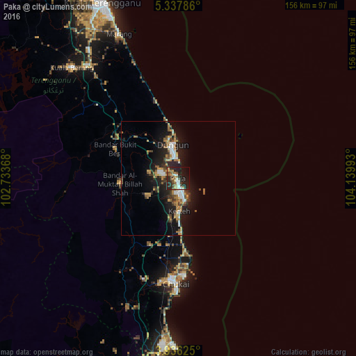
Analysis of Paka night lights 2016
Square area 10x10 km:
 4.13%
4.13%90-99
6.82%80-89
3.72%70-79
4.55%60-69
6.61%50-59
3.31%40-49
6.2%30-39
6.82%20-29
25.41%10-19
22.93%0-9
9.5%Square area 50x50 km:
1.17%90-99
1.34%80-89
0.95%70-79
1.58%60-69
1.65%50-59
1.33%40-49
1.33%30-39
1.57%20-29
3.88%10-19
9.36%0-9
75.85%Clear (daylight) street map image can be seen on geolist.org.
Map coordinates:
5° 20' 16.3" North, 102° 44' 1.2" East
4° 38' 14.6" North, 103° 26' 12.5" East
3° 56' 10.5" North, 104° 8' 23.7" East
Some cities around Paka sort by population:
• Kuantan
93.1 km =57.8 mi,  187°
187°
• Kuala Terengganu
83.7 km =52 mi,  336°
336°
• Cukai
43.1 km =26.8 mi,  182°
182°
• Jerantut
142.4 km =88.5 mi,  236°
236°
• Pekan
128.4 km =79.8 mi, 181°
• Kertih
13.8 km =8.6 mi,  174°
174°
• Marang
68.2 km =42.4 mi, 337°
• Jertih
160.8 km =99.9 mi,  319°
319°
1734313 (p: 21,044)
Sources (retrieved 2019-11-25):
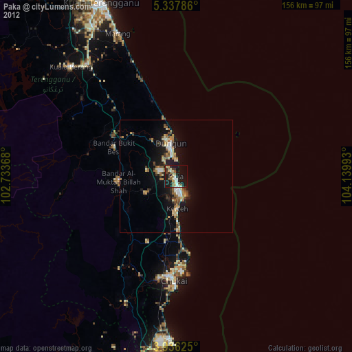
» Earth at Night: Flat Maps 2012, 2016