Yautepec night lights from space
Night Light of Yautepec (Morelos) from space (Mexico) Src. Average luminocity for 10x10km area is 54.9913% and for 50x50km: 35.2882%.
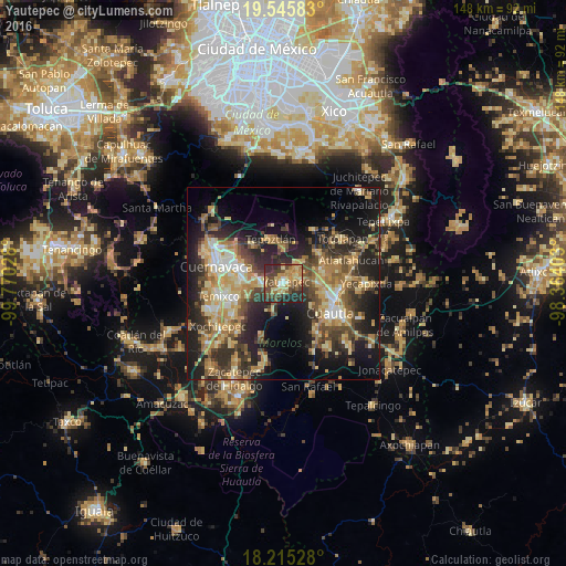
Analysis of Yautepec night lights 2016
Square area 10x10 km:
 2.16%
2.16%90-99
3.25%80-89
13.64%70-79
14.29%60-69
10.61%50-59
6.06%40-49
21.21%30-39
8.44%20-29
19.05%10-19
1.3%0-9
0%Square area 50x50 km:
1.89%90-99
4.06%80-89
7.3%70-79
6.86%60-69
6.55%50-59
4.03%40-49
8.17%30-39
6.3%20-29
11.32%10-19
16.73%0-9
26.78%Clear (daylight) street map image can be seen on geolist.org.
Map coordinates:
19° 32' 45" North, 99° 46' 13" West
18° 52' 54.8" North, 99° 4' 1.7" West
18° 12' 55" North, 98° 21' 50.5" West
Some cities around Yautepec sort by population:
• Jiutepec
11.6 km =7.2 mi,  269°
269°
• Progreso
9 km =5.6 mi, 268°
• Tepoztlán
12.1 km =7.5 mi,  343°
343°
• La Joya
6 km =3.7 mi,  279°
279°
• Cocoyoc
9 km =5.6 mi,  88°
88°
• Tlayacapan
12.2 km =7.6 mi,  47°
47°
• Independencia
5.8 km =3.6 mi,  264°
264°
• Los Arcos
4.6 km =2.9 mi,  82°
82°
3514321 (p: 42,731)
Sources (retrieved 2019-11-25):
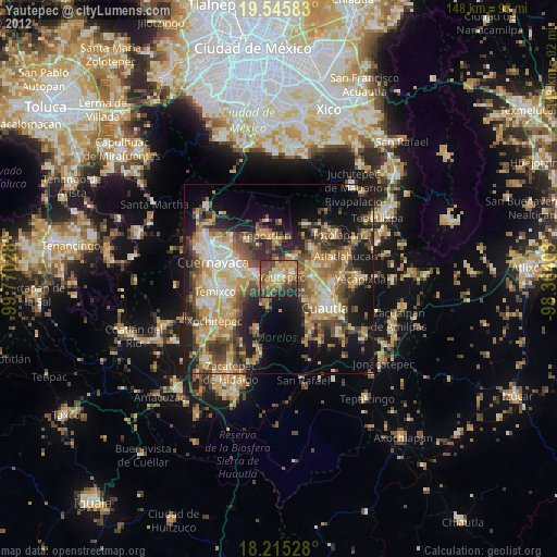
» Earth at Night: Flat Maps 2012, 2016