Jiutepec night lights from space
Night Light of Jiutepec (Morelos) from space (Mexico) Src. Average luminocity for 10x10km area is 79.8225% and for 50x50km: 30.4284%.
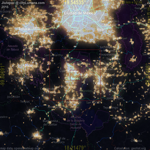
Analysis of Jiutepec night lights 2016
Square area 10x10 km:
 12.77%
90-99
23.38%80-89
22.29%70-79
16.88%60-69
11.47%50-59
2.16%40-49
7.58%30-39
3.46%20-29
0%10-19
0%0-9
0%Square area 50x50 km:
1.56%90-99
3.57%80-89
6.55%70-79
5.85%60-69
5.54%50-59
3.52%40-49
6.66%30-39
4.94%20-29
9.21%10-19
15.08%0-9
37.52%Clear (daylight) street map image can be seen on geolist.org.
Map coordinates:
19° 32' 43.3" North, 99° 52' 51.3" West
18° 52' 53" North, 99° 10' 40" West
18° 12' 53.2" North, 98° 28' 28.8" West
Some cities around Jiutepec sort by population:
• Cuernavaca
7.5 km =4.7 mi,  311°
311°
• Temixco
5.9 km =3.7 mi,  237°
237°
• Emiliano Zapata
4.6 km =2.9 mi,  189°
189°
• Tres de Mayo
3.5 km =2.2 mi,  246°
246°
• Progreso
2.7 km =1.7 mi,  93°
93°
• La Joya
5.8 km =3.6 mi,  79°
79°
• Independencia
5.8 km =3.6 mi, 94°
• Calera Chica
2.6 km =1.6 mi, 189°
3526485 (p: 162,427)
Sources (retrieved 2019-11-25):
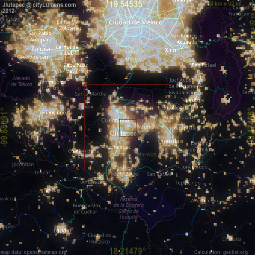
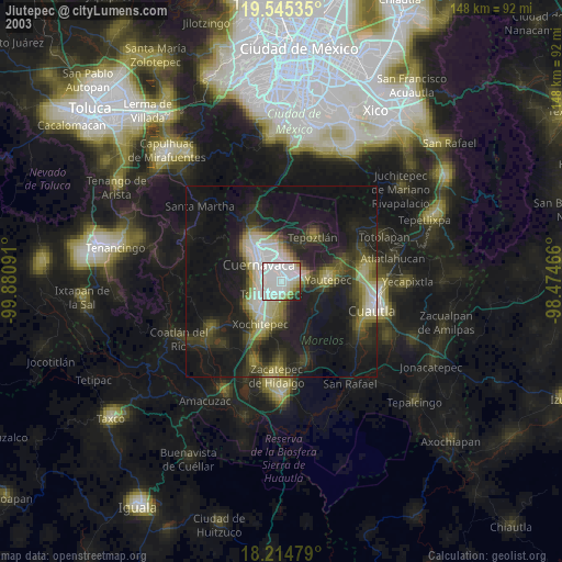
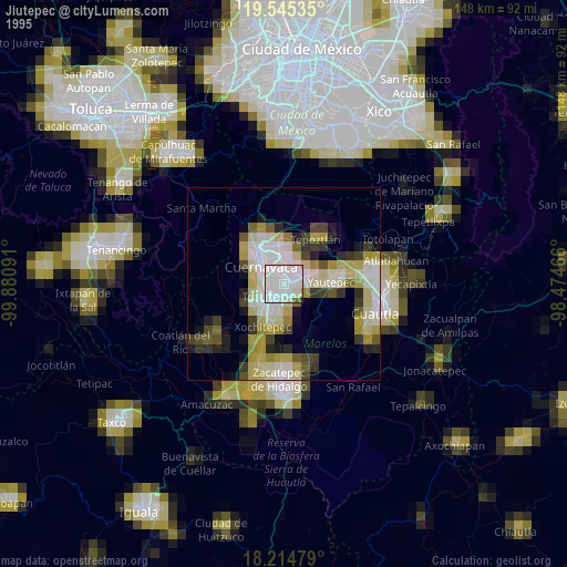
» NASA, Earths city lights 1995
» NASA city lights 2003
» Earth at Night: Flat Maps 2012, 2016