Xico night lights from space
Night Light of Xico (México) from space (Mexico) Src. Average luminocity for 10x10km area is 89.5952% and for 50x50km: 57.231%.
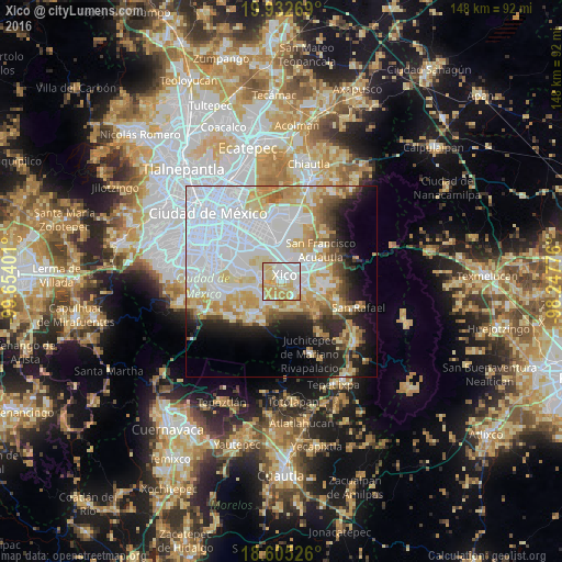

Analysis of Xico night lights 2016
Square area 10x10 km:
 30.95%
90-99
21%80-89
24.24%70-79
22.94%60-69
0.87%50-59
0%40-49
0%30-39
0%20-29
0%10-19
0%0-9
0%Square area 50x50 km:
25.18%90-99
9.54%80-89
8.61%70-79
7.35%60-69
4.62%50-59
2.65%40-49
3.52%30-39
2.44%20-29
5.65%10-19
8.9%0-9
21.54%Clear (daylight) street map image can be seen on geolist.org.
Map coordinates:
19° 55' 57.7" North, 99° 39' 14.4" West
19° 16' 13.2" North, 98° 57' 3.2" West
18° 36' 18.9" North, 98° 14' 51.9" West
Some cities around Xico sort by population:
• Tláhuac
6 km =3.7 mi,  287°
287°
• Chalco
5.7 km =3.5 mi,  99°
99°
• San Antonio Tecómitl
7 km =4.3 mi,  213°
213°
• San Juan Ixtayopan
6.6 km =4.1 mi,  229°
229°
• San Mateo Huitzilzingo
5.3 km =3.3 mi,  149°
149°
• San Andrés Mixquic
5.2 km =3.2 mi,  195°
195°
• Santa Catarina Ayotzingo
7.1 km =4.4 mi,  161°
161°
• Santa Catarina Yecahuizotl
4.9 km =3 mi,  342°
342°
3514519 (p: 356,352)
Sources (retrieved 2019-11-25):
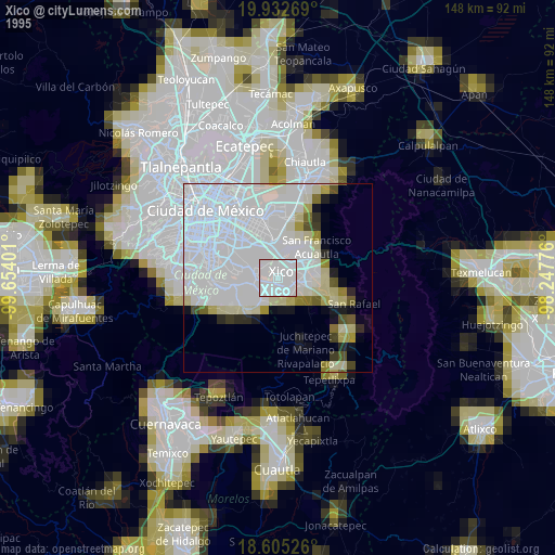
» NASA, Earths city lights 1995
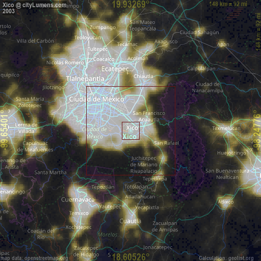
» NASA city lights 2003
» Earth at Night: Flat Maps 2012, 2016