Chalco night lights from space
Night Light of Chalco (México) from space (Mexico) Src. Average luminocity for 10x10km area is 90.8117% and for 50x50km: 48.7177%.
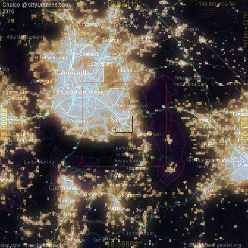
Analysis of Chalco night lights 2016
Square area 10x10 km:
 32.03%
90-99
27.27%80-89
19.05%70-79
18.18%60-69
3.46%50-59
0%40-49
0%30-39
0%20-29
0%10-19
0%0-9
0%Square area 50x50 km:
18.58%90-99
8.76%80-89
8.09%70-79
6.82%60-69
4.3%50-59
2.53%40-49
3.41%30-39
2.32%20-29
5.45%10-19
8.61%0-9
31.14%Clear (daylight) street map image can be seen on geolist.org.
Map coordinates:
19° 55' 26.9" North, 99° 36' 3.2" West
19° 15' 42.3" North, 98° 53' 51.9" West
18° 35' 47.9" North, 98° 11' 40.7" West
Some cities around Chalco sort by population:
• Xico
5.7 km =3.5 mi,  279°
279°
• San Buenaventura
5.8 km =3.6 mi,  38°
38°
• San Mateo Huitzilzingo
4.6 km =2.9 mi,  218°
218°
• San Gregorio Cuautzingo
4.2 km =2.6 mi,  93°
93°
• San Marcos Huixtoco
5.3 km =3.3 mi, 42°
• San Pablo Atlazalpan
5 km =3.1 mi,  191°
191°
• Cocotitlán
4.6 km =2.9 mi,  133°
133°
• La Candelaria Tlapala
5.8 km =3.6 mi,  114°
114°
3531200 (p: 168,720)
Sources (retrieved 2019-11-25):
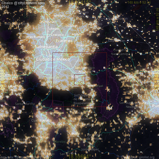
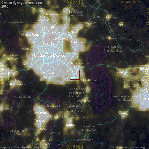
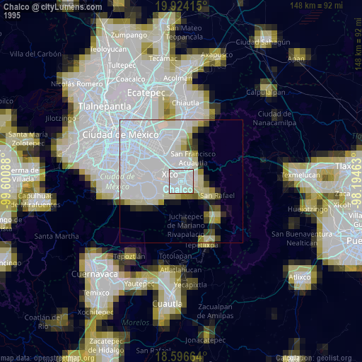
» NASA, Earths city lights 1995
» NASA city lights 2003
» Earth at Night: Flat Maps 2012, 2016