Tláhuac night lights from space
Night Light of Tláhuac (Mexico City) from space (Mexico) Src. Average luminocity for 10x10km area is 91.6017% and for 50x50km: 65.5745%.
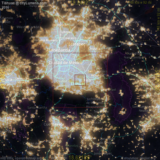
Analysis of Tláhuac night lights 2016
Square area 10x10 km:
 28.14%
90-99
29.87%80-89
32.03%70-79
9.96%60-69
0%50-59
0%40-49
0%30-39
0%20-29
0%10-19
0%0-9
0%Square area 50x50 km:
31.79%90-99
10.9%80-89
8.97%70-79
7.98%60-69
5.25%50-59
2.66%40-49
3.31%30-39
2.42%20-29
4.97%10-19
6.51%0-9
15.23%Clear (daylight) street map image can be seen on geolist.org.
Map coordinates:
19° 56' 57.1" North, 99° 42' 29.5" West
19° 17' 12.8" North, 99° 0' 18.3" West
18° 37' 18.8" North, 98° 18' 7" West
Some cities around Tláhuac sort by population:
• Xico
6 km =3.7 mi,  107°
107°
• Los Reyes Acaquilpan
9 km =5.6 mi,  19°
19°
• San Isidro
8.2 km =5.1 mi,  44°
44°
• Emiliano Zapata
7.1 km =4.4 mi,  26°
26°
• San Antonio Tecómitl
7.9 km =4.9 mi,  166°
166°
• San Juan Ixtayopan
6.2 km =3.9 mi, 173°
• San Andrés Mixquic
8.1 km =5 mi,  147°
147°
• Santa Catarina Yecahuizotl
5.1 km =3.2 mi,  56°
56°
3515463 (p: 305,076)
Sources (retrieved 2019-11-25):
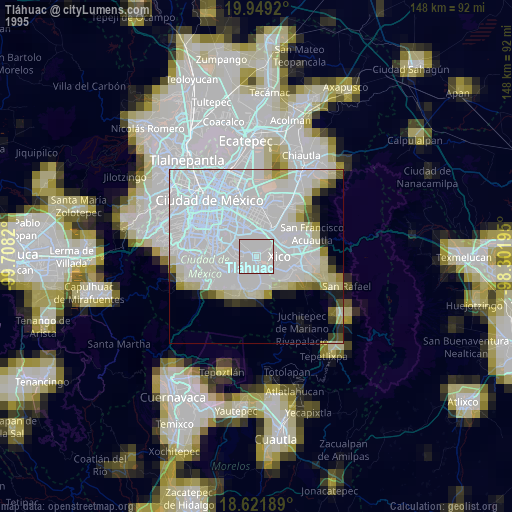
» NASA, Earths city lights 1995
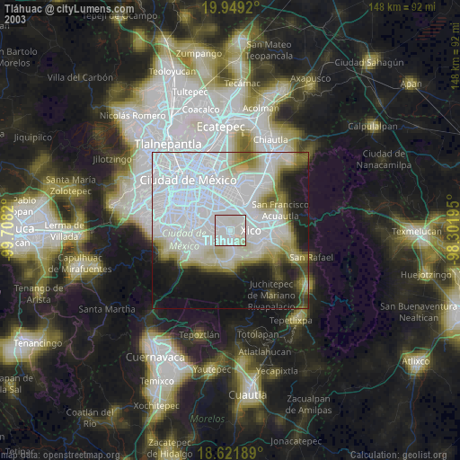
» NASA city lights 2003
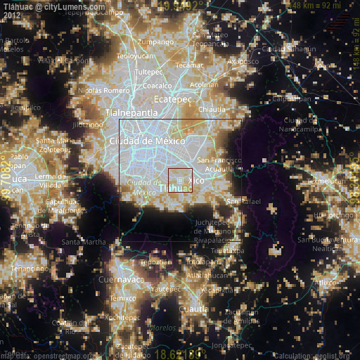
» Earth at Night: Flat Maps 2012, 2016