Venustiano Carranza night lights from space
Night Light of Venustiano Carranza (Mexico City) from space (Mexico) Src. Average luminocity for 10x10km area is 99.9752% and for 50x50km: 89.4398%.
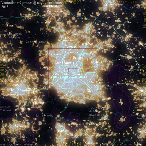
Analysis of Venustiano Carranza night lights 2016
Square area 10x10 km:
 97.73%
90-99
2.27%80-89
0%70-79
0%60-69
0%50-59
0%40-49
0%30-39
0%20-29
0%10-19
0%0-9
0%Square area 50x50 km:
49.37%90-99
17.64%80-89
12.07%70-79
10.64%60-69
4.61%50-59
1.59%40-49
0.84%30-39
0.55%20-29
0.71%10-19
0.86%0-9
1.11%Clear (daylight) street map image can be seen on geolist.org.
Map coordinates:
20° 6' 19" North, 99° 48' 29.2" West
19° 26' 37" North, 99° 6' 18" West
18° 46' 45.3" North, 98° 24' 6.7" West
Some cities around Venustiano Carranza sort by population:
• Mexico City
2.9 km =1.8 mi,  234°
234°
• Gustavo Adolfo Madero
5.6 km =3.5 mi,  353°
353°
• Cuauhtémoc
4.3 km =2.7 mi,  272°
272°
• Iztacalco
5.4 km =3.4 mi,  171°
171°
• Benito Juarez
7.5 km =4.7 mi, 227°
• Colonia del Valle
8.8 km =5.5 mi,  223°
223°
• Colonia Lindavista
5.7 km =3.5 mi,  338°
338°
• Colonia Nativitas
7.7 km =4.8 mi,  205°
205°
3827407 (p: 430,978)
Sources (retrieved 2019-11-25):
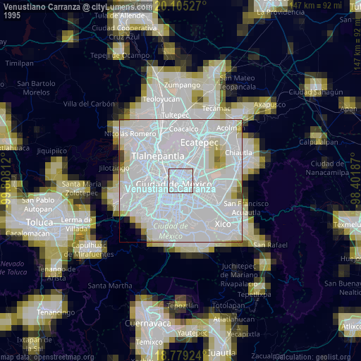
» NASA, Earths city lights 1995
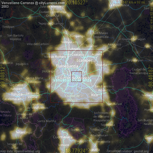
» NASA city lights 2003
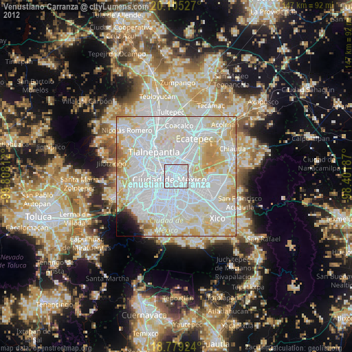
» Earth at Night: Flat Maps 2012, 2016