Colonia Lindavista night lights from space
Night Light of Colonia Lindavista (México) from space (Mexico) Src. Average luminocity for 10x10km area is 99.9731% and for 50x50km: 89.6118%.
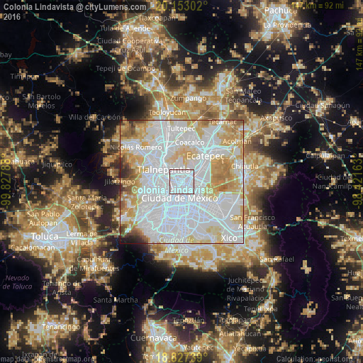
Analysis of Colonia Lindavista night lights 2016
Square area 10x10 km:
 98.14%
90-99
1.86%80-89
0%70-79
0%60-69
0%50-59
0%40-49
0%30-39
0%20-29
0%10-19
0%0-9
0%Square area 50x50 km:
48.98%90-99
17.84%80-89
11.65%70-79
9.51%60-69
5.46%50-59
2.68%40-49
1.45%30-39
1.02%20-29
0.97%10-19
0.43%0-9
0%Clear (daylight) street map image can be seen on geolist.org.
Map coordinates:
20° 9' 10.9" North, 99° 49' 40.4" West
19° 29' 29.6" North, 99° 7' 29.1" West
18° 49' 38.6" North, 98° 25' 17.9" West
Some cities around Colonia Lindavista sort by population:
• Mexico City
7 km =4.3 mi,  182°
182°
• Gustavo Adolfo Madero
1.5 km =0.9 mi,  79°
79°
• Tlalnepantla
9.2 km =5.7 mi,  306°
306°
• Cuauhtémoc
5.6 km =3.5 mi,  203°
203°
• Venustiano Carranza
5.7 km =3.5 mi,  158°
158°
• Azcapotzalco
6.4 km =4 mi,  265°
265°
• Polanco
10.1 km =6.3 mi,  230°
230°
• Puerto Escondido (Tepeolulco Puerto Escondido)
7.3 km =4.5 mi,  22°
22°
7280711 (p: 100,000)
Sources (retrieved 2019-11-25):
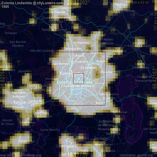
» NASA, Earths city lights 1995
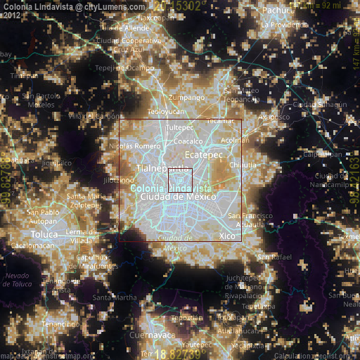
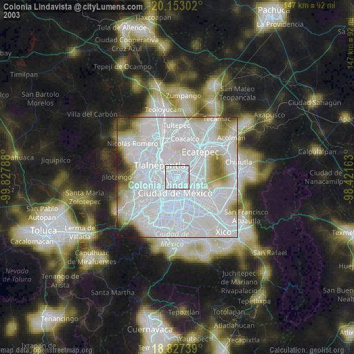
» NASA city lights 2003
» Earth at Night: Flat Maps 2012, 2016