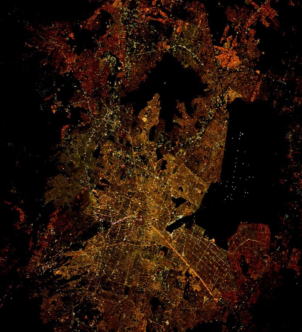
Mexico City night lights from space
Night Light of Mexico City from space (Mexico) Src. Average luminocity for 10x10km area is 100% and for 50x50km: 87.3299%.
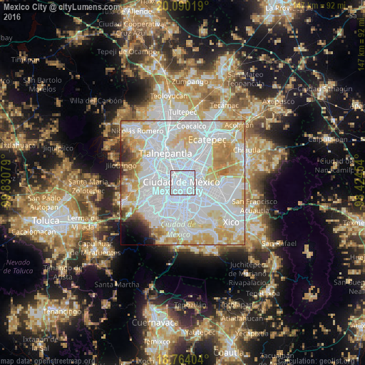
Analysis of Mexico City night lights 2016
Square area 10x10 km:
 100%
100%90-99
0%80-89
0%70-79
0%60-69
0%50-59
0%40-49
0%30-39
0%20-29
0%10-19
0%0-9
0%Square area 50x50 km:
47.78%90-99
16.86%80-89
11.78%70-79
10.4%60-69
4.7%50-59
1.72%40-49
1.22%30-39
1.03%20-29
1.16%10-19
1.23%0-9
2.12%Clear (daylight) street map image can be seen on geolist.org.
Map coordinates:
20° 5' 24.7" North, 99° 49' 50.8" West
19° 25' 42.5" North, 99° 7' 39.6" West
18° 45' 50.5" North, 98° 25' 28.3" West
Fantastic image of Mexico City from space taken by astronauts [src2], but I don't have information about it's orientation, scale or angle. If necessary, it was rotated manually, so North points approximately to upper direction. Click to zoom in:
Some cities around Mexico City sort by population:
• Cuauhtémoc
2.7 km =1.7 mi,  313°
313°
• Venustiano Carranza
2.9 km =1.8 mi,  54°
54°
• Benito Juárez
6.9 km =4.3 mi,  205°
205°
• Iztacalco
4.8 km =3 mi,  139°
139°
• Benito Juarez
4.6 km =2.9 mi,  223°
223°
• Colonia del Valle
5.9 km =3.7 mi, 217°
• Colonia Lindavista
7 km =4.3 mi,  2°
2°
• Colonia Nativitas
5.3 km =3.3 mi,  190°
190°
3530597 (p: 12,294,193)
Sources (retrieved 2019-11-25):
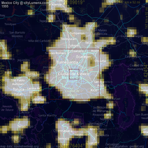
» NASA, Earths city lights 1995
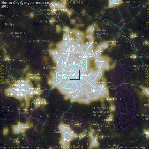
» NASA city lights 2003
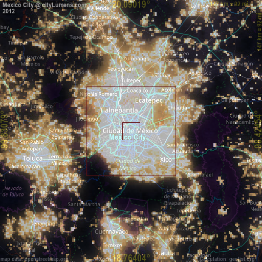
» Earth at Night: Flat Maps 2012, 2016
Src.2: Tim Kopra, Twitter/@astro_tim, 2016-05-06