Iztacalco night lights from space
Night Light of Iztacalco (Mexico City) from space (Mexico) Src. Average luminocity for 10x10km area is 99.9876% and for 50x50km: 85.7644%.
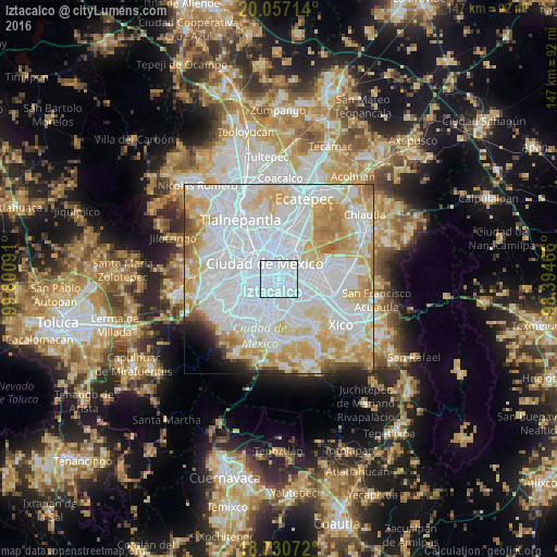
Analysis of Iztacalco night lights 2016
Square area 10x10 km:
 98.97%
90-99
1.03%80-89
0%70-79
0%60-69
0%50-59
0%40-49
0%30-39
0%20-29
0%10-19
0%0-9
0%Square area 50x50 km:
45.51%90-99
16.46%80-89
12.19%70-79
10.68%60-69
5.14%50-59
1.66%40-49
1.66%30-39
0.9%20-29
1.58%10-19
1.41%0-9
2.8%Clear (daylight) street map image can be seen on geolist.org.
Map coordinates:
20° 3' 25.7" North, 99° 48' 3.3" West
19° 23' 43" North, 99° 5' 52" West
18° 43' 50.6" North, 98° 23' 40.8" West
Some cities around Iztacalco sort by population:
• Mexico City
4.8 km =3 mi,  319°
319°
• Iztapalapa
5.8 km =3.6 mi,  140°
140°
• Cuauhtémoc
7.5 km =4.7 mi, 317°
• Venustiano Carranza
5.4 km =3.4 mi,  351°
351°
• Benito Juárez
6.6 km =4.1 mi,  247°
247°
• Benito Juarez
6.3 km =3.9 mi,  273°
273°
• Colonia del Valle
6.8 km =4.2 mi,  261°
261°
• Colonia Nativitas
4.4 km =2.7 mi, 249°
3526700 (p: 384,326)
Sources (retrieved 2019-11-25):
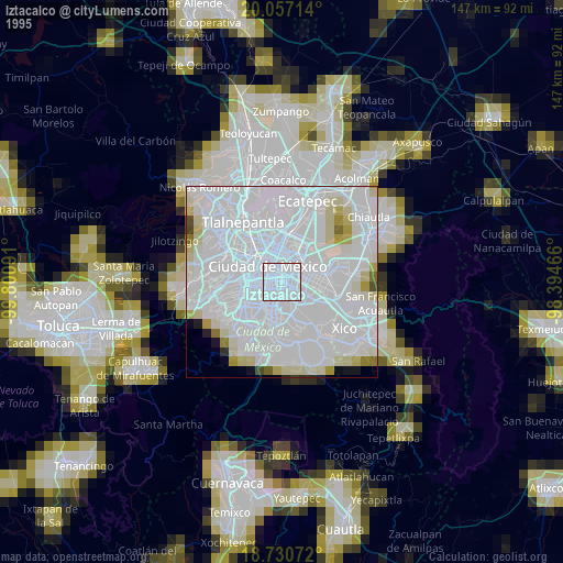
» NASA, Earths city lights 1995
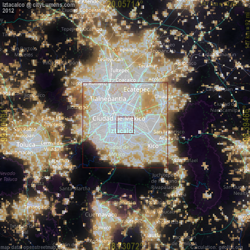
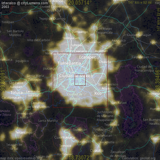
» NASA city lights 2003
» Earth at Night: Flat Maps 2012, 2016