Usmajac night lights from space
Night Light of Usmajac (Jalisco) from space (Mexico) Src. Average luminocity for 10x10km area is 6.1147% and for 50x50km: 4.1796%.
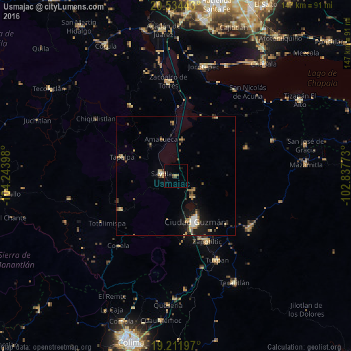
Analysis of Usmajac night lights 2016
Square area 10x10 km:
 0%
0%90-99
0%80-89
0.87%70-79
0%60-69
1.08%50-59
1.73%40-49
1.95%30-39
1.3%20-29
0.87%10-19
0.87%0-9
91.34%Square area 50x50 km:
0.25%90-99
0.42%80-89
0.7%70-79
0.6%60-69
0.72%50-59
0.61%40-49
0.71%30-39
0.55%20-29
0.67%10-19
2.76%0-9
92%Clear (daylight) street map image can be seen on geolist.org.
Map coordinates:
20° 32' 3.9" North, 104° 14' 38.3" West
19° 52' 28.5" North, 103° 32' 27.1" West
19° 12' 43.1" North, 102° 50' 15.8" West
Some cities around Usmajac sort by population:
• Ciudad Guzmán
20.6 km =12.8 mi,  156°
156°
• Sayula
6.3 km =3.9 mi,  277°
277°
• Zapotiltic
30.4 km =18.9 mi,  154°
154°
• San Sebastián del Sur
11.4 km =7.1 mi,  141°
141°
• Tapalpa
24.2 km =15 mi,  289°
289°
• Atemajac de Brizuela
35 km =21.7 mi,  326°
326°
• San Andrés Ixtlán
9.7 km =6 mi,  129°
129°
• Atoyac
15.2 km =9.4 mi,  9°
9°
3980756 (p: 7,269)
Sources (retrieved 2019-11-25):
» Earth at Night: Flat Maps 2012, 2016