Zapotiltic night lights from space
Night Light of Zapotiltic (Jalisco) from space (Mexico) Src. Average luminocity for 10x10km area is 18.4153% and for 50x50km: 5.173%.
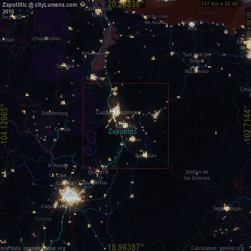
Analysis of Zapotiltic night lights 2016
Square area 10x10 km:
 0%
0%90-99
0%80-89
5.79%70-79
2.48%60-69
2.69%50-59
1.45%40-49
2.07%30-39
3.31%20-29
3.31%10-19
20.25%0-9
58.68%Square area 50x50 km:
0.23%90-99
0.46%80-89
0.89%70-79
0.77%60-69
0.84%50-59
0.64%40-49
0.92%30-39
0.63%20-29
0.94%10-19
3.59%0-9
90.09%Clear (daylight) street map image can be seen on geolist.org.
Map coordinates:
20° 17' 18.2" North, 104° 7' 14.3" West
19° 37' 39" North, 103° 25' 3.1" West
18° 57' 49.9" North, 102° 42' 51.8" West
Some cities around Zapotiltic sort by population:
• Ciudad Guzmán
9.7 km =6 mi,  331°
331°
• Tuxpan
9.1 km =5.7 mi,  151°
151°
• Tamazula de Gordiano
18.4 km =11.4 mi,  71°
71°
• Tecalitlán
20.8 km =12.9 mi, 146°
• Usmajac
30.4 km =18.9 mi, 334°
• San Sebastián del Sur
19.5 km =12.1 mi,  342°
342°
• Cofradía
25.7 km =16 mi,  212°
212°
• San Andrés Ixtlán
22.1 km =13.7 mi,  345°
345°
3979727 (p: 22,833)
Sources (retrieved 2019-11-25):
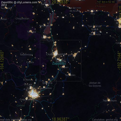
» Earth at Night: Flat Maps 2012, 2016