Ciudad Guzmán night lights from space
Night Light of Ciudad Guzmán (Jalisco) from space (Mexico) Src. Average luminocity for 10x10km area is 37.4545% and for 50x50km: 5.1185%.
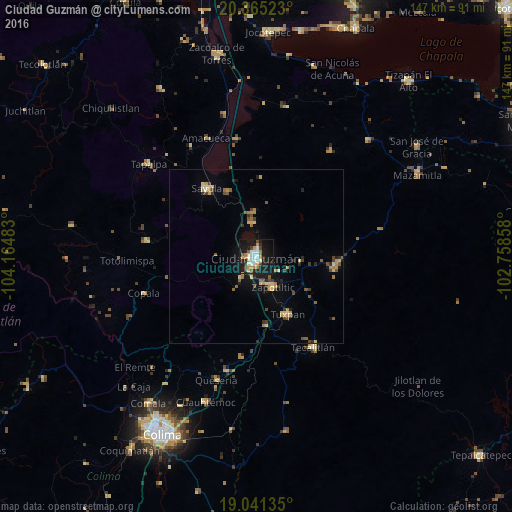
Analysis of Ciudad Guzmán night lights 2016
Square area 10x10 km:
 5.79%
5.79%90-99
8.26%80-89
4.34%70-79
5.17%60-69
4.96%50-59
2.07%40-49
5.37%30-39
2.48%20-29
7.23%10-19
45.04%0-9
9.3%Square area 50x50 km:
0.25%90-99
0.41%80-89
0.9%70-79
0.8%60-69
0.76%50-59
0.67%40-49
0.85%30-39
0.68%20-29
0.87%10-19
3.52%0-9
90.29%Clear (daylight) street map image can be seen on geolist.org.
Map coordinates:
20° 21' 54.8" North, 104° 9' 53.4" West
19° 42' 16.8" North, 103° 27' 42.1" West
19° 2' 28.9" North, 102° 45' 30.9" West
Some cities around Ciudad Guzmán sort by population:
• Tuxpan
18.9 km =11.7 mi,  151°
151°
• Sayula
24.5 km =15.2 mi,  323°
323°
• Zapotiltic
9.7 km =6 mi, 151°
• Tamazula de Gordiano
22.2 km =13.8 mi,  97°
97°
• Tecalitlán
30.5 km =19 mi, 147°
• Usmajac
20.6 km =12.8 mi,  336°
336°
• San Sebastián del Sur
10.1 km =6.3 mi,  353°
353°
• San Andrés Ixtlán
12.8 km =8 mi,  356°
356°
4013714 (p: 97,750)
Sources (retrieved 2019-11-25):
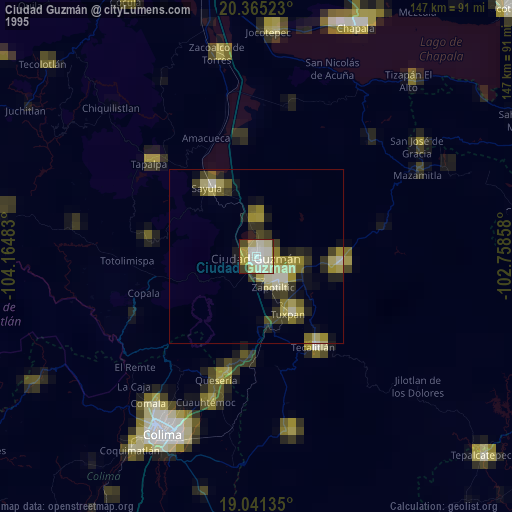
» NASA, Earths city lights 1995
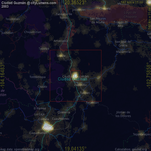
» NASA city lights 2003
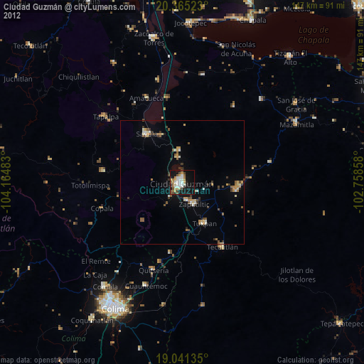
» Earth at Night: Flat Maps 2012, 2016