San José del Cabo night lights from space
Night Light of San José del Cabo (Baja California Sur) from space (Mexico) Src. Average luminocity for 10x10km area is 45.1567% and for 50x50km: 6.9589%.
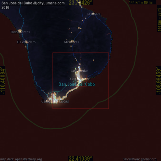
Analysis of San José del Cabo night lights 2016
Square area 10x10 km:
 10.12%
90-99
6.94%80-89
5.95%70-79
8.73%60-69
1.79%50-59
6.15%40-49
5.95%30-39
3.57%20-29
16.27%10-19
29.56%0-9
4.96%Square area 50x50 km:
1.1%90-99
0.86%80-89
0.97%70-79
1.49%60-69
0.46%50-59
0.65%40-49
0.58%30-39
0.63%20-29
1.86%10-19
6.31%0-9
85.07%Clear (daylight) street map image can be seen on geolist.org.
Map coordinates:
23° 42' 15.3" North, 110° 24' 3" West
23° 3' 32" North, 109° 41' 51.8" West
22° 24' 37.4" North, 108° 59' 40.5" West
Some cities around San José del Cabo sort by population:
• La Paz
135.4 km =84.1 mi,  333°
333°
• Cabo San Lucas
28.8 km =17.9 mi,  229°
229°
• Colonia del Sol
28.5 km =17.7 mi,  235°
235°
• El Dorado
276.1 km =171.6 mi,  59°
59°
• Eldorado
275.9 km =171.4 mi, 59°
• Las Palmas
28.5 km =17.7 mi, 241°
• Las Veredas
10.2 km =6.3 mi,  355°
355°
• Todos Santos
68.9 km =42.8 mi,  308°
308°
3986172 (p: 69,788)
Sources (retrieved 2019-11-25):
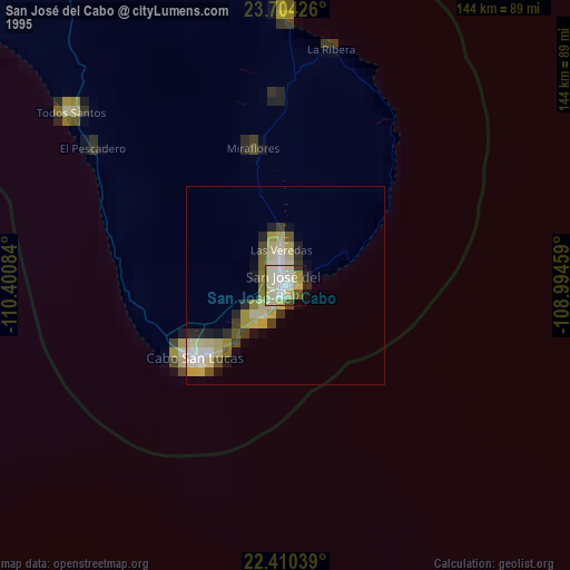
» NASA, Earths city lights 1995
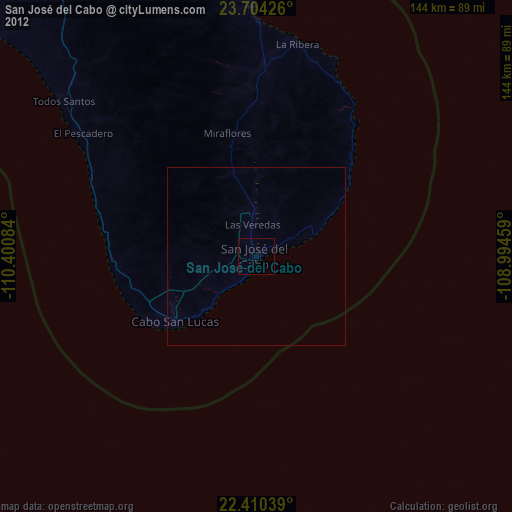
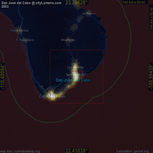
» NASA city lights 2003
» Earth at Night: Flat Maps 2012, 2016