Tila night lights from space
Night Light of Tila (Chiapas) from space (Mexico) Src. Average luminocity for 10x10km area is 1.9959% and for 50x50km: 1.3821%.
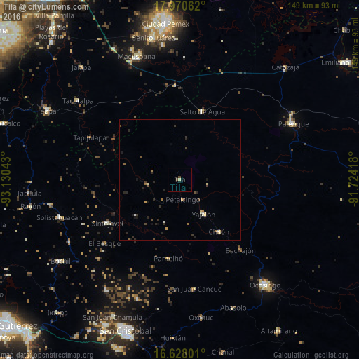
Analysis of Tila night lights 2016
Square area 10x10 km:
 0%
0%90-99
0%80-89
0.83%70-79
0%60-69
0%50-59
0%40-49
1.65%30-39
0%20-29
0%10-19
1.45%0-9
96.07%Square area 50x50 km:
0.01%90-99
0.2%80-89
0.24%70-79
0.08%60-69
0.23%50-59
0.14%40-49
0.25%30-39
0.36%20-29
0.57%10-19
0.49%0-9
97.44%Clear (daylight) street map image can be seen on geolist.org.
Map coordinates:
17° 58' 14.2" North, 93° 7' 49.5" West
17° 18' 1.9" North, 92° 25' 38.3" West
16° 37' 40.8" North, 91° 43' 27" West
Some cities around Tila sort by population:
• Yajalón
17.4 km =10.8 mi,  144°
144°
• Simojovel de Allende
35.3 km =21.9 mi,  239°
239°
• Chilón
27.2 km =16.9 mi, 142°
• Pantelhó
33.1 km =20.6 mi,  188°
188°
• Petalcingo
8.3 km =5.2 mi,  170°
170°
• Chilón
7.6 km =4.7 mi, 171°
• Salto de Agua
29.7 km =18.5 mi,  18°
18°
• Bachajón
38.4 km =23.9 mi, 138°
3515600 (p: 7,164)
Sources (retrieved 2019-11-25):
» Earth at Night: Flat Maps 2012, 2016